Transport Functions
Rail
Road
Hub Profile
Place type
Populated place
Region
Centre-Val de Loire
Population
3,872
Time zone
Europe/Paris
Elevation
37 m
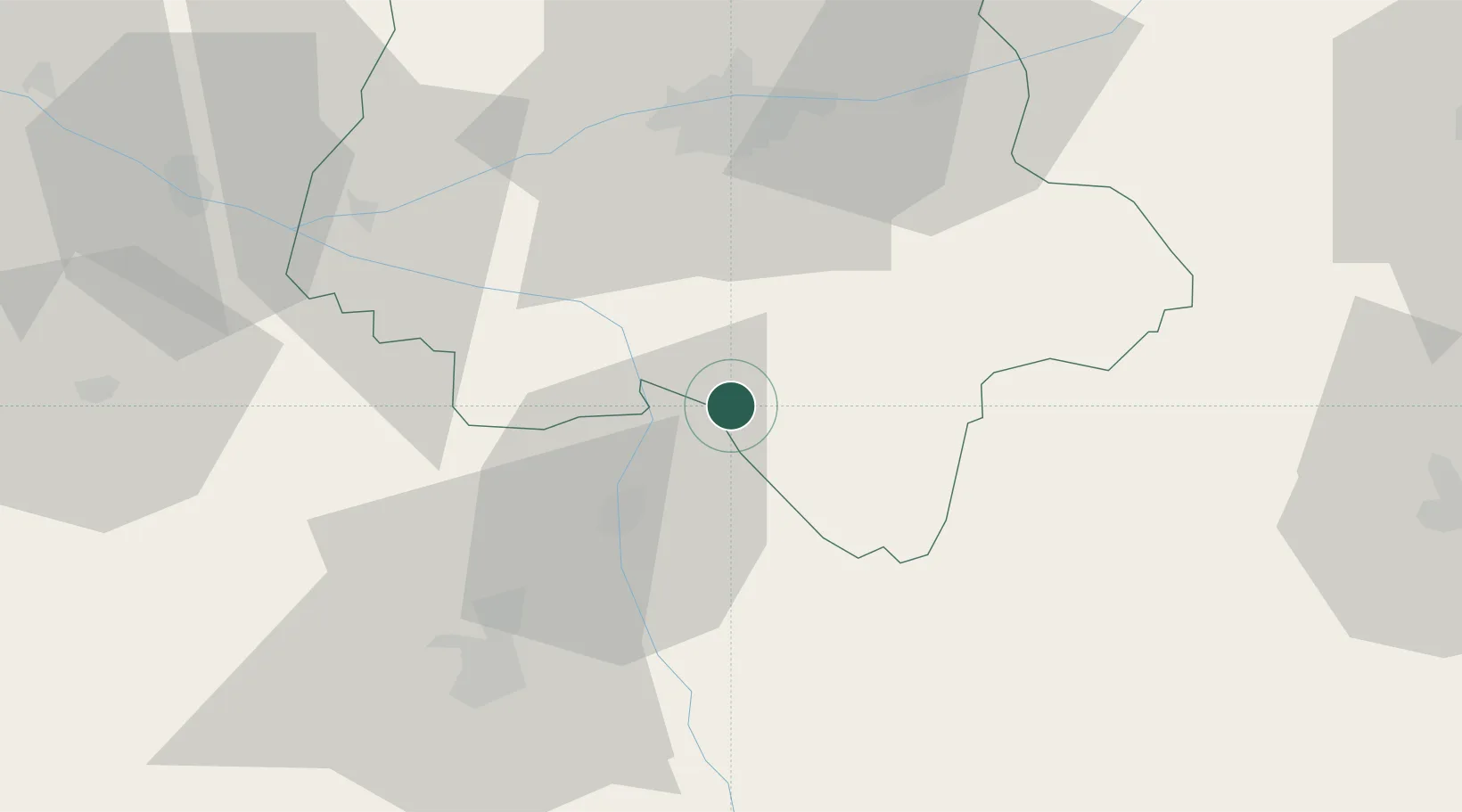
Location
Nearby Logistics Neighbours
Cities
- 1Les Ormes8 km
- 2Port-de-Piles8 km
- 3Barrou12 km
- 4Availles21 km
- 5Châtellerault22 km
Ports
- 1Tonnay Charente168 km
- 2La Rochelle168 km
- 3Rochefort171 km
- 4La Pallice171 km
- 5Nantes174 km
Airports
- 1Poitiers-Biard Airport52 km
- 2Tours Val de Loire Airport52 km
- 3Châteauroux Déols airport79 km
- 4Angers Marcé airport101 km
- 5Niort - Marais Poitevin Airport111 km
Trade Zones
- 1ZFU Blois81 km
- 2ZFU Angers114 km
- 3ZFU Le Mans121 km
- 4ZFU Bourges124 km
- 5ZFU Orléans133 km
DatabookThe Record of Consolidated Knowledge
France beyond logistics?