Transport Functions
Rail
Road
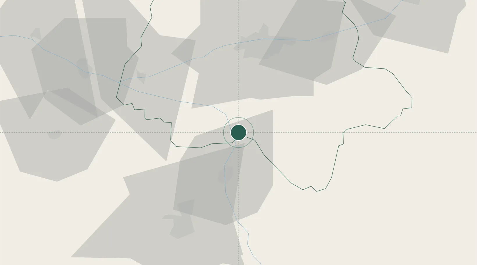
Hub Profile
Place type
Populated place
Region
Nouvelle-Aquitaine
Population
548
Time zone
Europe/Paris
Elevation
45 m
Location
Nearby Logistics Neighbours
Cities
- 1Les Ormes4 km
- 2Descartes8 km
- 3Braslou16 km
- 4Razines18 km
- 5Crissay-sur-Manse19 km
Ports
- 1La Rochelle164 km
- 2Tonnay Charente165 km
- 3Nantes166 km
- 4La Pallice167 km
- 5Rochefort168 km
Airports
- 1Tours Val de Loire Airport49 km
- 2Poitiers-Biard Airport51 km
- 3Châteauroux Déols airport87 km
- 4Angers Marcé airport93 km
- 5Niort - Marais Poitevin Airport108 km
Trade Zones
- 1ZFU Blois82 km
- 2ZFU Angers105 km
- 3ZFU Le Mans115 km
- 4ZFU Bourges131 km
- 5ZFU Orléans135 km
DatabookThe Record of Consolidated Knowledge
France beyond logistics?