Transport Functions
Multimodal
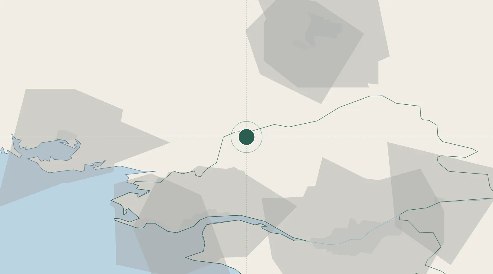
Hub Profile
Place type
Populated place
Region
Pays de la Loire
Population
2,346
Time zone
Europe/Paris
Elevation
54 m
Location
Nearby Logistics Neighbours
Cities
- 1Saint-Nicolas-de-Redon6 km
- 2Redon8 km
- 3Sainte-Anne-sur-Vilaine15 km
- 4Guenrouet15 km
- 5Plessé15 km
Ports
- 1Donges39 km
- 2Montoir41 km
- 3St Nazaire44 km
- 4Nantes59 km
- 5Lorient103 km
Airports
Trade Zones
- 1ZFU Saint-Nazaire47 km
- 2ZFU Nantes et Saint-Herblain52 km
- 3ZFU Angers106 km
- 4ZFU Le Mans162 km
- 5ZFU La Rochelle176 km
DatabookThe Record of Consolidated Knowledge
France beyond logistics?