Transport Functions
Port
Multimodal
Hub Profile
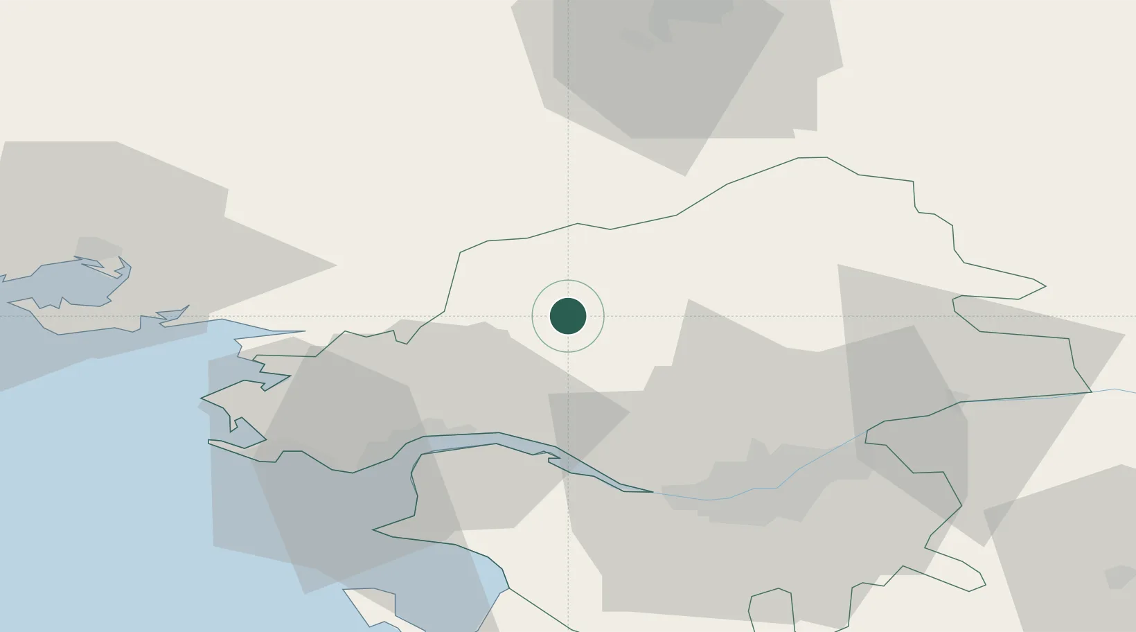
Place type
Populated place
Region
Pays de la Loire
Population
3,833
Time zone
Europe/Paris
Elevation
30 m
Location
Nearby Logistics Neighbours
Cities
- 1Guenrouet7 km
- 2Blain12 km
- 3Fay-de-Bretagne14 km
- 4Avessac15 km
- 5Pontchâteau19 km
Ports
- 1Donges29 km
- 2Montoir32 km
- 3St Nazaire37 km
- 4Nantes44 km
- 5Lorient113 km
Airports
Trade Zones
- 1ZFU Nantes et Saint-Herblain37 km
- 2ZFU Saint-Nazaire41 km
- 3ZFU Angers97 km
- 4ZFU Le Mans158 km
- 5ZFU La Rochelle161 km
DatabookThe Record of Consolidated Knowledge
France beyond logistics?