UN/LOCODE hub · France
FRNLA

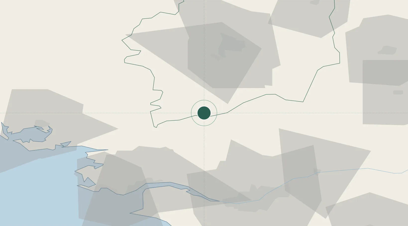
Sainte-Anne-sur-Vilaine

47.7167°, -1.8167°
853
Population
4
Transport functions

Transport Functions

Port
Rail
Road
Multimodal
UN/LOCODE

Hub Profile

Place type
Populated place
GeoNames
Region
Brittany
GeoNames
Population
853
GeoNames
Time zone
Europe/Paris
GeoNames
Elevation
19 m
GeoNames

Location

Location of FRNLA
Natural Earth 10m (public domain) · Brittany · FRNLA · 47.72, -1.82GoogleOSMYandex

Nearby Logistics Neighbours

Cities
  1. 1Avessac15 km
  2. 2Le Bignon20 km
  3. 3Saint-Nicolas-de-Redon20 km
  4. 4Pléchâtel21 km
  5. 5Plessé21 km
Nearest neighbours — logibook spatial index (haversine) over the source coordinates
Ports
  1. 1Donges50 km
  2. 2Montoir52 km
  3. 3St Nazaire56 km
  4. 4Nantes60 km
  5. 5Saint-Malo105 km
Nearest neighbours — logibook spatial index (haversine) over the source coordinates
Airports
  1. 1Rennes-Saint-Jacques Airport40 km
  2. 2Saint-Nazaire-Montoir Airport52 km
  3. 3La Baule-Escoublac Airport62 km
  4. 4Nantes Atlantique Airport65 km
  5. 5Vannes-Meucon Airport68 km
Nearest neighbours — logibook spatial index (haversine) over the source coordinates
Trade Zones
  1. 1ZFU Nantes et Saint-Herblain55 km
  2. 2ZFU Saint-Nazaire60 km
  3. 3ZFU Angers95 km
  4. 4ZFU Le Mans148 km
  5. 5ZFU Alençon162 km
Nearest neighbours — logibook spatial index (haversine) over the source coordinates
DatabookThe Record of Consolidated Knowledge
France beyond logistics?
Browse databook

All Sources

LocationsUN/LOCODE
UN/LOCODE — free
LocationsGeoNames
CC BY 4.0
Portsthe NGA World Port Index
Public domain (US gov)
AirportsOurAirports
Public domain
Trade Zonesthe World Bank SEZ database
CC BY 4.0
Trade ZonesOpen Zone Map
CC BY
← France locations