Transport Functions
Port
Road
Hub Profile
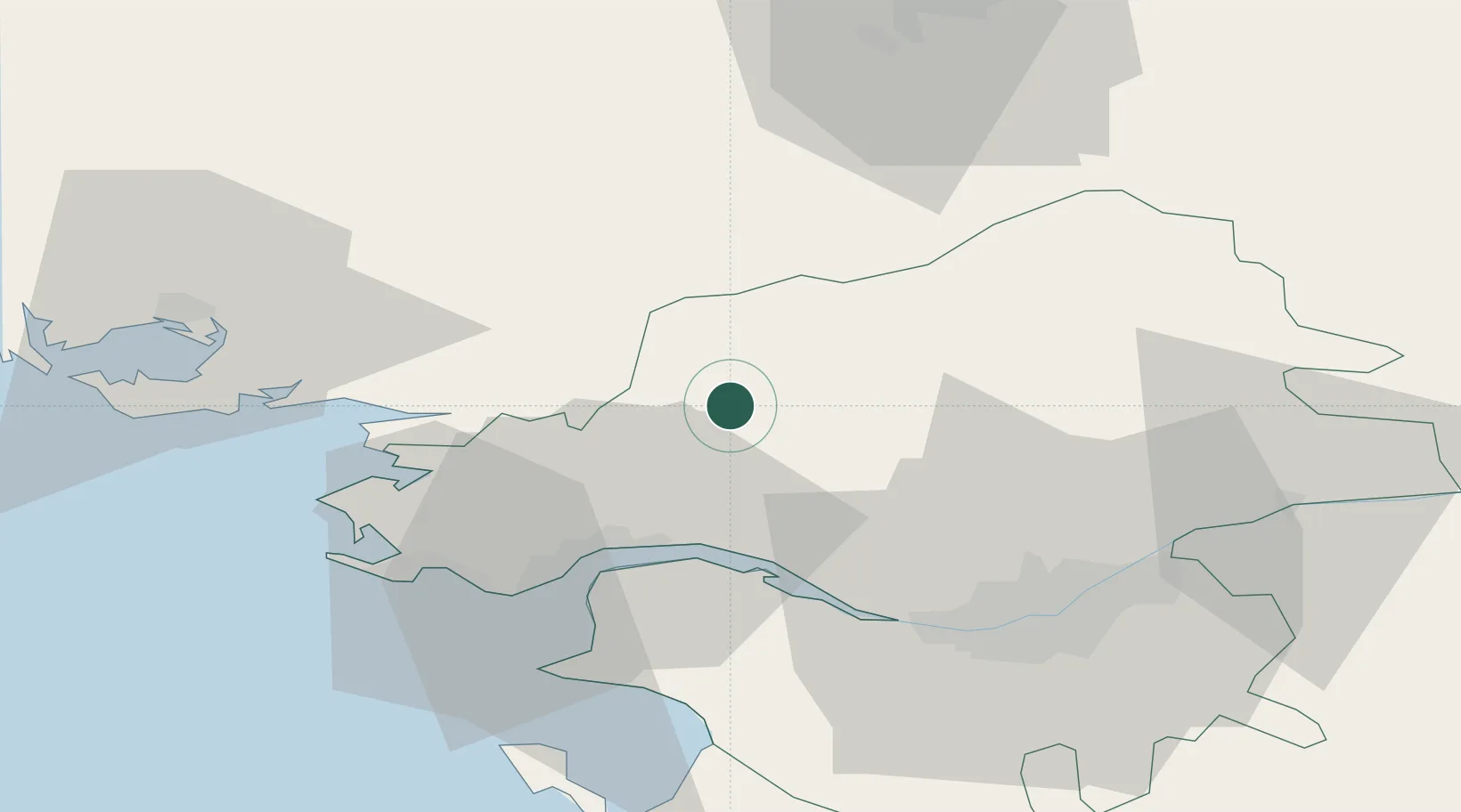
Place type
Populated place
Region
Pays de la Loire
Population
2,601
Time zone
Europe/Paris
Elevation
37 m
Location
Nearby Logistics Neighbours
Cities
- 1Plessé7 km
- 2Pontchâteau13 km
- 3Avessac15 km
- 4Saint-Nicolas-de-Redon17 km
- 5La Chapelle-Launay17 km
Ports
- 1Donges25 km
- 2Montoir27 km
- 3St Nazaire31 km
- 4Nantes46 km
- 5Lorient107 km
Airports
Trade Zones
- 1ZFU Saint-Nazaire35 km
- 2ZFU Nantes et Saint-Herblain38 km
- 3ZFU Angers103 km
- 4ZFU La Rochelle161 km
- 5ZFU Le Mans165 km
DatabookThe Record of Consolidated Knowledge
France beyond logistics?