UN/LOCODE hub · France
FRRED

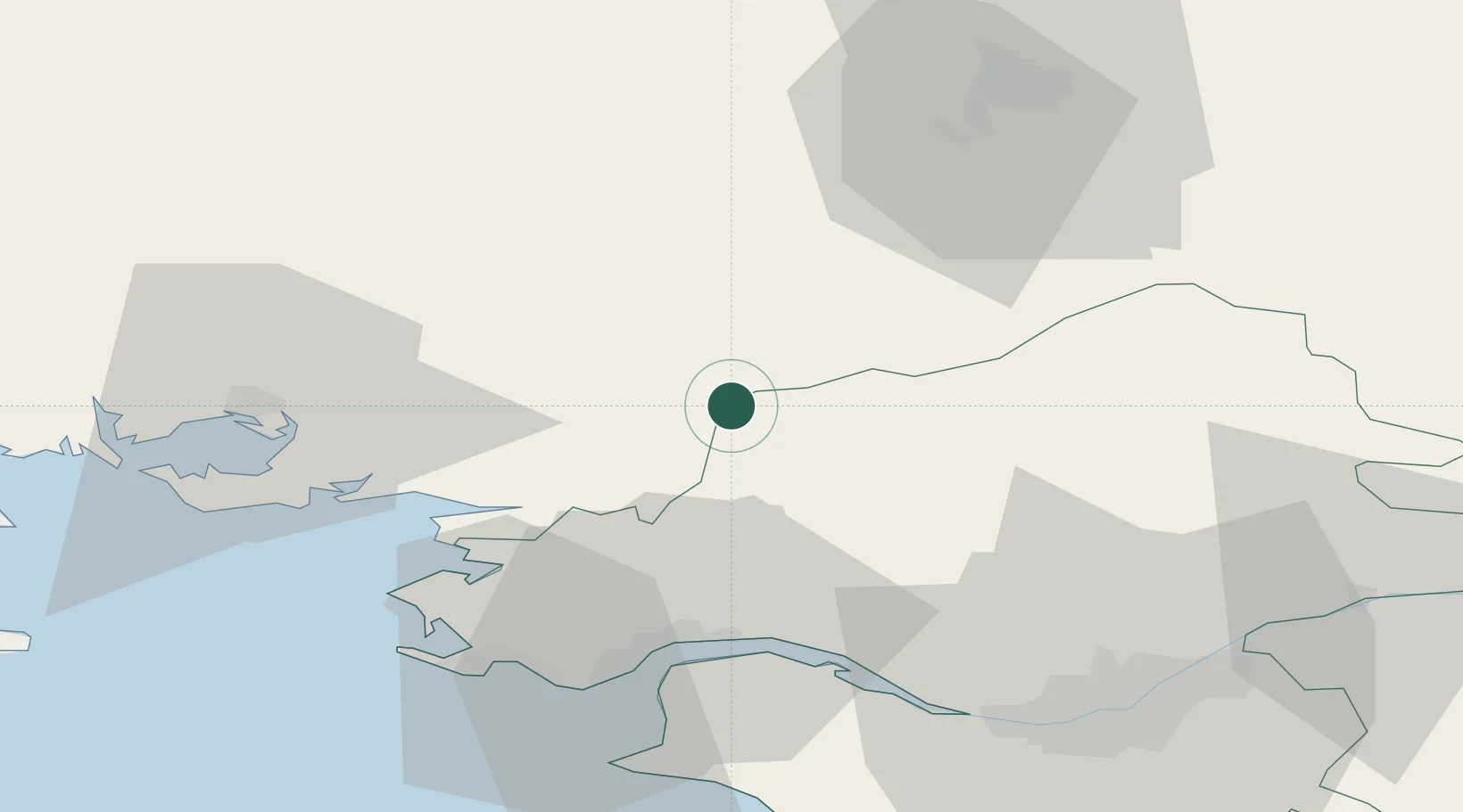
Saint-Nicolas-de-Redon

47.6500°, -2.0667°
3,055
Population
2
Transport functions

Transport Functions

Rail
Road
UN/LOCODE

Hub Profile

Place type
Populated place
GeoNames
Region
Pays de la Loire
GeoNames
Population
3,055
GeoNames
Time zone
Europe/Paris
GeoNames
Elevation
18 m
GeoNames

Location

Location of FRRED
Natural Earth 10m (public domain) · Pays de la Loire · FRRED · 47.65, -2.07GoogleOSMYandex

Nearby Logistics Neighbours

Cities
  1. 1Redon1 km
  2. 2Avessac6 km
  3. 3Les Fougerêts15 km
  4. 4La Chapelle-Gaceline15 km
  5. 5Guenrouet17 km
Nearest neighbours — logibook spatial index (haversine) over the source coordinates
Ports
  1. 1Donges39 km
  2. 2Montoir39 km
  3. 3St Nazaire42 km
  4. 4Nantes63 km
  5. 5Lorient97 km
Nearest neighbours — logibook spatial index (haversine) over the source coordinates
Airports
  1. 1Saint-Nazaire-Montoir Airport38 km
  2. 2La Baule-Escoublac Airport45 km
  3. 3Vannes-Meucon Airport50 km
  4. 4Rennes-Saint-Jacques Airport53 km
  5. 5Nantes Atlantique Airport65 km
Nearest neighbours — logibook spatial index (haversine) over the source coordinates
Trade Zones
  1. 1ZFU Saint-Nazaire44 km
  2. 2ZFU Nantes et Saint-Herblain55 km
  3. 3ZFU Angers112 km
  4. 4ZFU Le Mans168 km
  5. 5ZFU La Rochelle178 km
Nearest neighbours — logibook spatial index (haversine) over the source coordinates
DatabookThe Record of Consolidated Knowledge
France beyond logistics?
Browse databook

All Sources

LocationsUN/LOCODE
UN/LOCODE — free
LocationsGeoNames
CC BY 4.0
Portsthe NGA World Port Index
Public domain (US gov)
AirportsOurAirports
Public domain
Trade Zonesthe World Bank SEZ database
CC BY 4.0
Trade ZonesOpen Zone Map
CC BY
← France locations