Transport Functions
Port
Road
Hub Profile
Place type
Populated place
Region
Normandy
Population
1,920
Time zone
Europe/Paris
Elevation
20 m
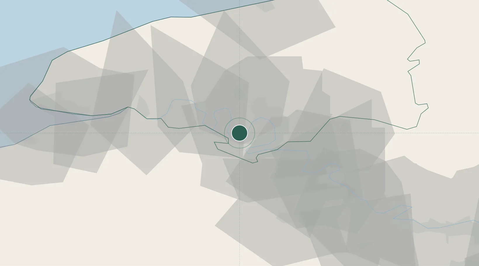
Location
Nearby Logistics Neighbours
Cities
- 1Saint-Pierre-de-Manneville3 km
- 2Rouen3 km
- 3Val-de-la-Haye4 km
- 4Petit-Couronne5 km
- 5Le Grand-Quevilly6 km
Ports
- 1Port Of Rouen10 km
- 2Honfleur54 km
- 3Fecamp61 km
- 4Dieppe62 km
- 5Port Of Le Havre63 km
Airports
Trade Zones
- 1ZFU Rouen Bihorel13 km
- 2ZFU Évreux42 km
- 3ZFU Le Havre63 km
- 4ZFU Mantes-la-Jolie70 km
- 5ZFU Dreux et Sainte-Gemme-Moronval77 km
DatabookThe Record of Consolidated Knowledge
France beyond logistics?