UN/LOCODE hub · France
FRVVH

Val-de-la-Haye

49.3500°, 1.0000°
805
Population
1
Transport functions

Transport Functions

Multimodal
UN/LOCODE

Hub Profile

Place type
Populated place
GeoNames
Region
Normandy
GeoNames
Population
805
GeoNames
Time zone
Europe/Paris
GeoNames
Elevation
6 m
GeoNames

Location

Location of FRVVH
Natural Earth 10m (public domain) · Normandy · FRVVH · 49.35, 1.00GoogleOSMYandex

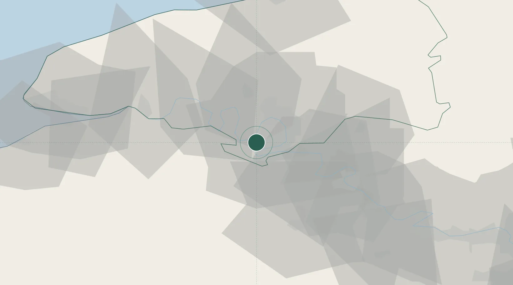
Nearby Logistics Neighbours

Cities
  1. 1Grandcamp-Maisy4 km
  2. 2Petit-Couronne4 km
  3. 3Rouen4 km
  4. 4Martot7 km
  5. 5Formigny7 km
Nearest neighbours — logibook spatial index (haversine) over the source coordinates
Ports
  1. 1Port Of Rouen12 km
  2. 2Honfleur57 km
  3. 3Fecamp65 km
  4. 4Dieppe65 km
  5. 5Port Of Le Havre66 km
Nearest neighbours — logibook spatial index (haversine) over the source coordinates
Airports
  1. 1Rouen Vallée de Seine Airport14 km
  2. 2Évreux-Fauville (BA 105) Air Base39 km
  3. 3Deauville Normandie airport61 km
  4. 4Le Havre-Octeville Airport69 km
  5. 5Pontoise-Cormeilles Aerodrome80 km
Nearest neighbours — logibook spatial index (haversine) over the source coordinates
Trade Zones
  1. 1ZFU Rouen Bihorel14 km
  2. 2ZFU Évreux38 km
  3. 3ZFU Mantes-la-Jolie66 km
  4. 4ZFU Le Havre66 km
  5. 5ZFU Dreux et Sainte-Gemme-Moronval72 km
Nearest neighbours — logibook spatial index (haversine) over the source coordinates
DatabookThe Record of Consolidated Knowledge
France beyond logistics?
Browse databook

All Sources

LocationsUN/LOCODE
UN/LOCODE — free
LocationsGeoNames
CC BY 4.0
Portsthe NGA World Port Index
Public domain (US gov)
AirportsOurAirports
Public domain
Trade Zonesthe World Bank SEZ database
CC BY 4.0
Trade ZonesOpen Zone Map
CC BY
← France locations