UN/LOCODE hub · France
FRURO

Rouen

49.3896°, 1.0085°
116,331
Population
3
Transport functions

Transport Functions

Port
Road
Airport
Rouen is also a profiled seaport →
UN/LOCODE

Hub Profile

Place type
Regional capital
GeoNames
Region
Normandy
GeoNames
Population
116,331
GeoNames
Time zone
Europe/Paris
GeoNames
Elevation
21 m
GeoNames
Logistics facilities
9
UN/LOCODE

Location

Location of FRURO
Natural Earth 10m (public domain) · Normandy · FRURO · 49.39, 1.01GoogleOSMYandex

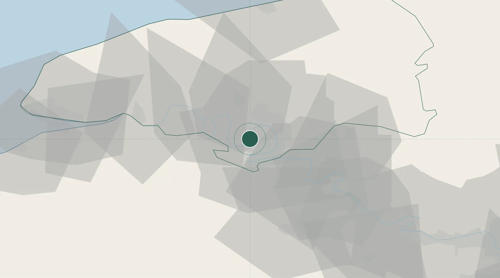
Nearby Logistics Neighbours

Cities
  1. 1Petit-Couronne2 km
  2. 2Grandcamp-Maisy3 km
  3. 3Le Grand-Quevilly4 km
  4. 4Le Petit-Quevilly4 km
  5. 5Val-de-la-Haye4 km
Nearest neighbours — logibook spatial index (haversine) over the source coordinates
Ports
  1. 1Honfleur57 km
  2. 2Dieppe61 km
  3. 3Fecamp62 km
  4. 4Port Of Le Havre65 km
  5. 5Deauville67 km
Nearest neighbours — logibook spatial index (haversine) over the source coordinates
Airports
  1. 1Rouen Vallée de Seine Airport12 km
  2. 2Évreux-Fauville (BA 105) Air Base43 km
  3. 3Deauville Normandie airport62 km
  4. 4Le Havre-Octeville Airport68 km
  5. 5Beauvais-Tillé airport80 km
Nearest neighbours — logibook spatial index (haversine) over the source coordinates
Trade Zones
  1. 1ZFU Rouen Bihorel10 km
  2. 2ZFU Évreux42 km
  3. 3ZFU Le Havre65 km
  4. 4ZFU Mantes-la-Jolie68 km
  5. 5ZFU Beauvais76 km
Nearest neighbours — logibook spatial index (haversine) over the source coordinates
DatabookThe Record of Consolidated Knowledge
France beyond logistics?
Browse databook

All Sources

LocationsUN/LOCODE
UN/LOCODE — free
LocationsGeoNames
CC BY 4.0
Portsthe NGA World Port Index
Public domain (US gov)
AirportsOurAirports
Public domain
Trade Zonesthe World Bank SEZ database
CC BY 4.0
Trade ZonesOpen Zone Map
CC BY
← France locations