Transport Functions
Rail
Road
Multimodal
Hub Profile
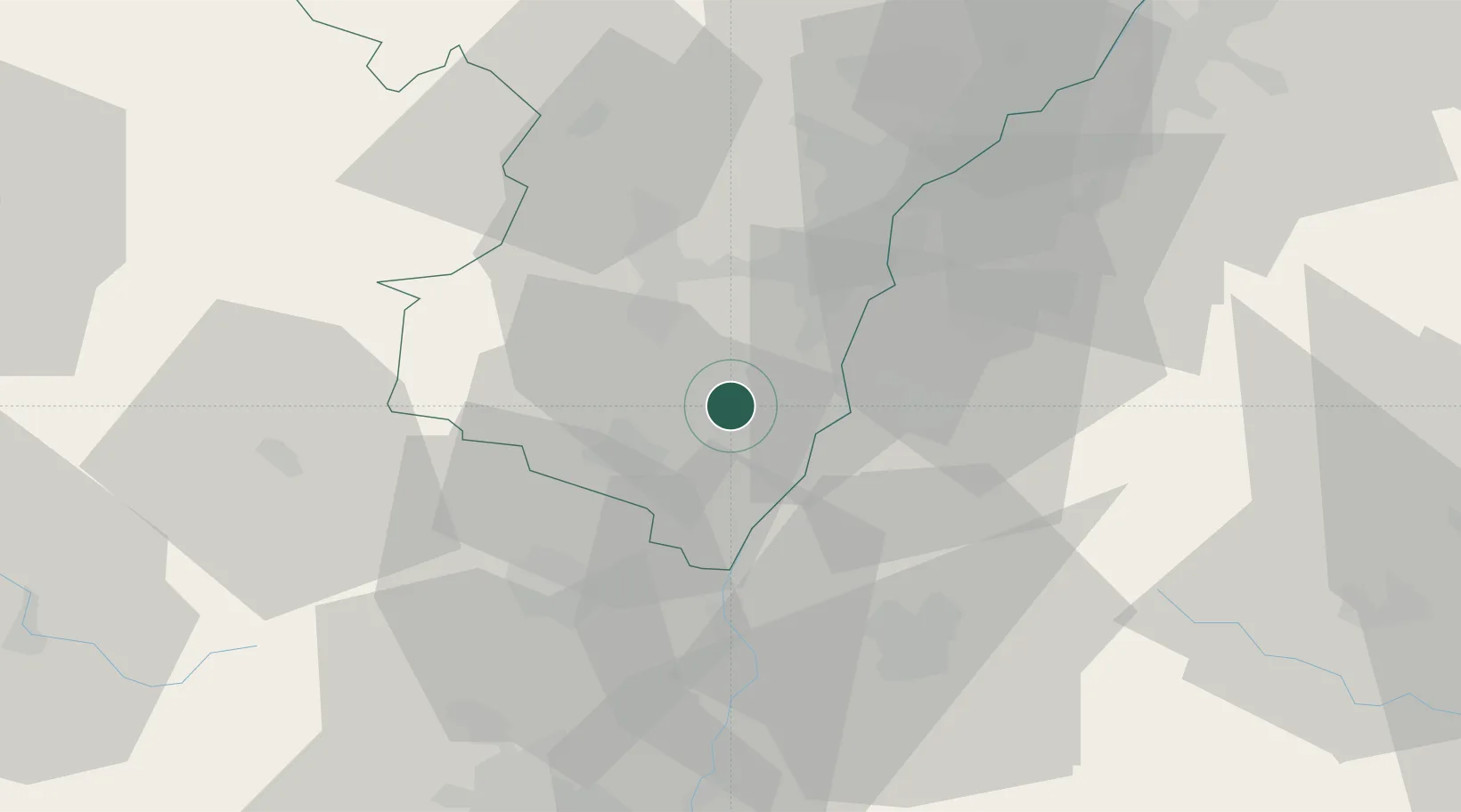
Place type
Populated place
Region
Grand Est
Population
2,250
Time zone
Europe/Paris
Elevation
160 m
Location
Nearby Logistics Neighbours
Cities
- 1Kogenheim4 km
- 2Zellwiller8 km
- 3Wittisheim9 km
- 4Saint-Pierre9 km
- 5Epfig10 km
Airports
- 1Lahr Airport18 km
- 2Strasbourg Airport21 km
- 3Colmar Houssen airport31 km
- 4Phalsbourg-Bourscheid Air Base54 km
- 5Karlsruhe Baden-Baden Airport60 km
Trade Zones
- 1ZFU Neuhof25 km
- 2ZFU Hautepierre28 km
- 3ZFU Mulhouse69 km
- 4ZFU Belfort97 km
- 5ZFU La Cité Behren-lès-Forbach103 km
DatabookThe Record of Consolidated Knowledge
France beyond logistics?