Transport Functions
Multimodal
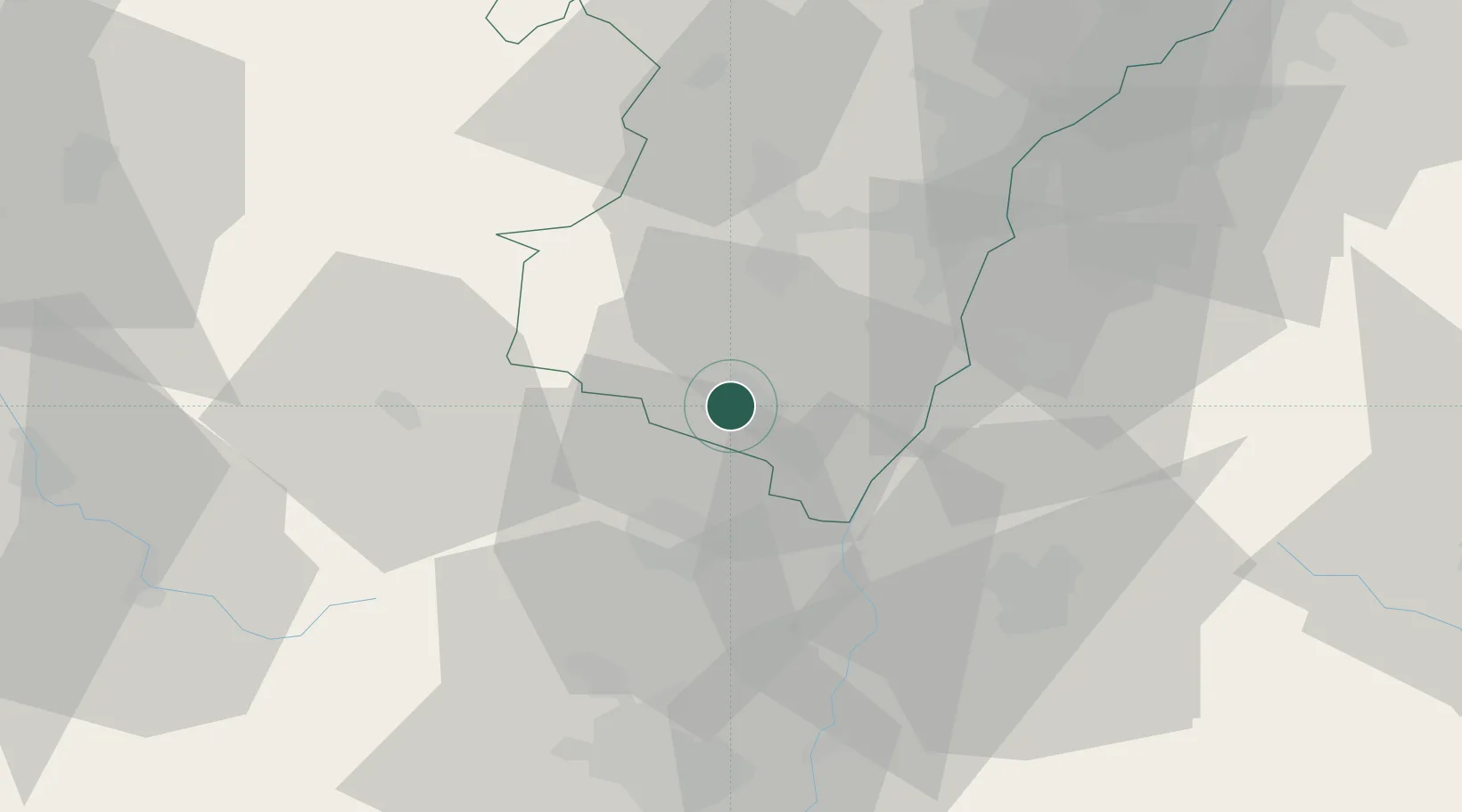
Hub Profile
Place type
Populated place
Region
Grand Est
Population
2,773
Time zone
Europe/Paris
Elevation
184 m
Location
Nearby Logistics Neighbours
Cities
- 1Châtenois2 km
- 2Sélestat3 km
- 3Kintzheim4 km
- 4Blienschwiller6 km
- 5Orschwiller6 km
Airports
- 1Colmar Houssen airport20 km
- 2Lahr Airport32 km
- 3Strasbourg Airport32 km
- 4Phalsbourg-Bourscheid Air Base56 km
- 5Karlsruhe Baden-Baden Airport74 km
Trade Zones
- 1ZFU Neuhof38 km
- 2ZFU Hautepierre40 km
- 3ZFU Mulhouse60 km
- 4ZFU Belfort84 km
- 5ZFU Montbéliard99 km
DatabookThe Record of Consolidated Knowledge
France beyond logistics?