UN/LOCODE hub · France
FRWWG
Husseren-Wesserling
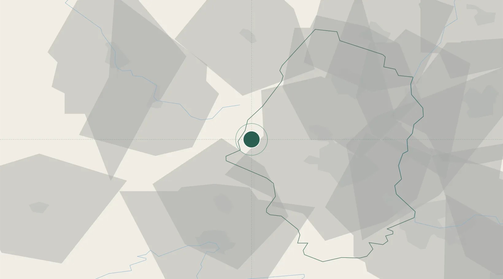
47.8833°, 6.9667°
1,017
Population
1
Transport functions
Transport Functions
Multimodal
Hub Profile
Place type
Populated place
Region
Grand Est
Population
1,017
Time zone
Europe/Paris
Elevation
437 m
Location
Nearby Logistics Neighbours
Cities
- 1Bourbach-le-Bas13 km
- 2Thann14 km
- 3La Bresse14 km
- 4Metzeral17 km
- 5Soultz-Haut-Rhin19 km
Ports
- 1Bruxelles382 km
- 2Savona414 km
- 3Antwerpen414 km
- 4Genova416 km
- 5Rada Di Vado418 km
Airports
Trade Zones
- 1ZFU Belfort29 km
- 2ZFU Mulhouse31 km
- 3ZFU Montbéliard44 km
- 4ZFU Neuhof94 km
- 5ZFU Hautepierre96 km
DatabookThe Record of Consolidated Knowledge
France beyond logistics?