Transport Functions
Multimodal
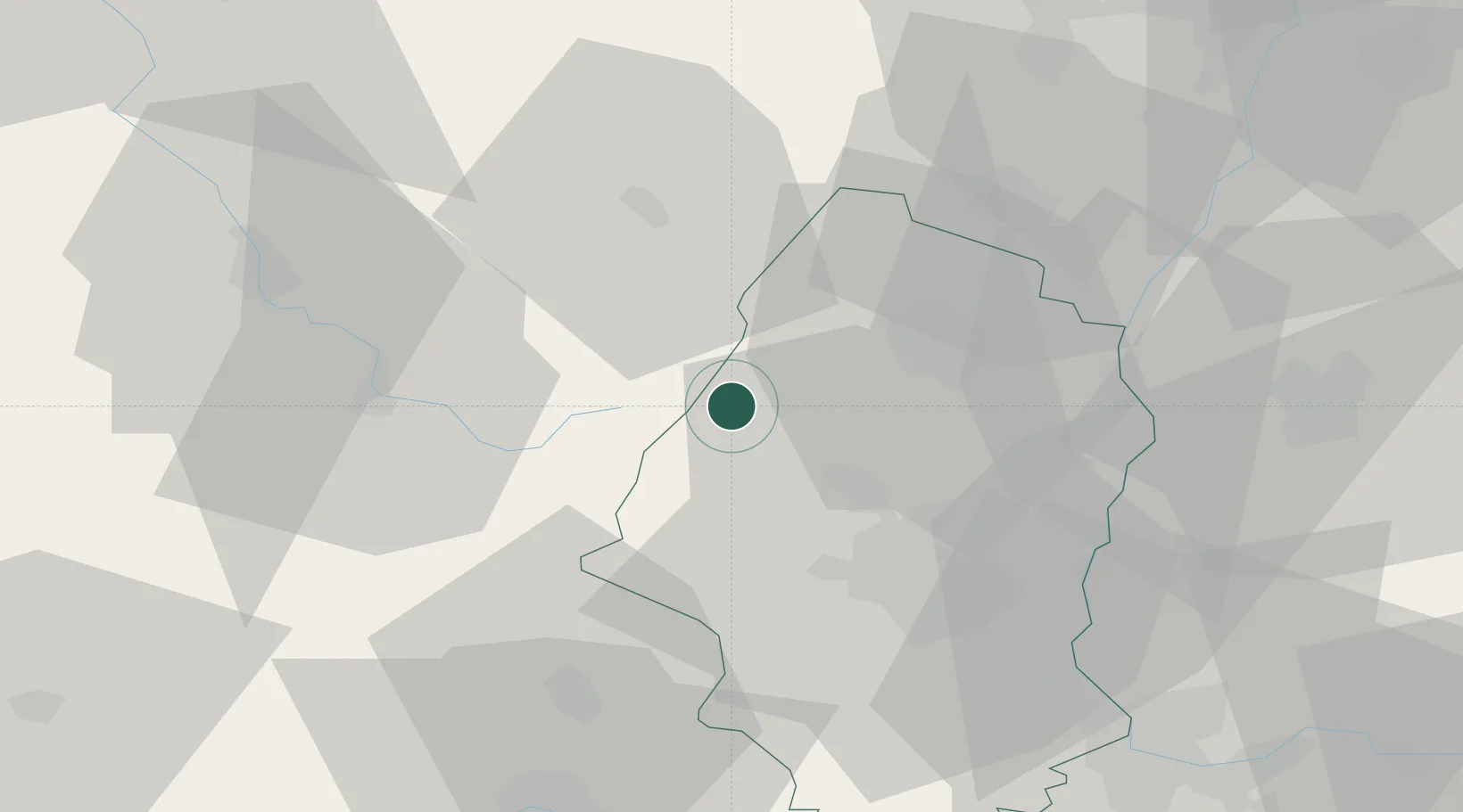
Hub Profile
Place type
Populated place
Region
Grand Est
Population
1,109
Time zone
Europe/Paris
Elevation
481 m
Location
Nearby Logistics Neighbours
Cities
- 1Munster6 km
- 2Osenbach12 km
- 3La Bresse14 km
- 4Vgtlinshoffen16 km
- 5Gueberschwihr16 km
Airports
Trade Zones
- 1ZFU Mulhouse36 km
- 2ZFU Belfort46 km
- 3ZFU Montbéliard61 km
- 4ZFU Neuhof78 km
- 5ZFU Hautepierre79 km
DatabookThe Record of Consolidated Knowledge
France beyond logistics?