Transport Functions
Rail
Hub Profile
Place type
District seat
Region
Grand Est
Population
8,429
Time zone
Europe/Paris
Elevation
343 m
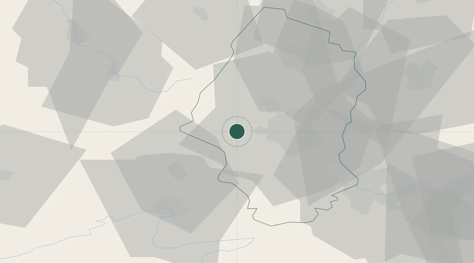
Location
Nearby Logistics Neighbours
Cities
- 1Bourbach-le-Bas3 km
- 2Aspach-le-Bas5 km
- 3Schweighouse-Thann8 km
- 4Soppe-le-Bas9 km
- 5Berrwiller10 km
Ports
- 1Bruxelles395 km
- 2Savona402 km
- 3Genova404 km
- 4Rada Di Vado407 km
- 5Chiavari - Lavagna425 km
Airports
Trade Zones
- 1ZFU Mulhouse19 km
- 2ZFU Belfort28 km
- 3ZFU Montbéliard40 km
- 4ZFU Neuhof96 km
- 5ZFU Hautepierre99 km
DatabookThe Record of Consolidated Knowledge
France beyond logistics?