Transport Functions
Rail
Road
Hub Profile
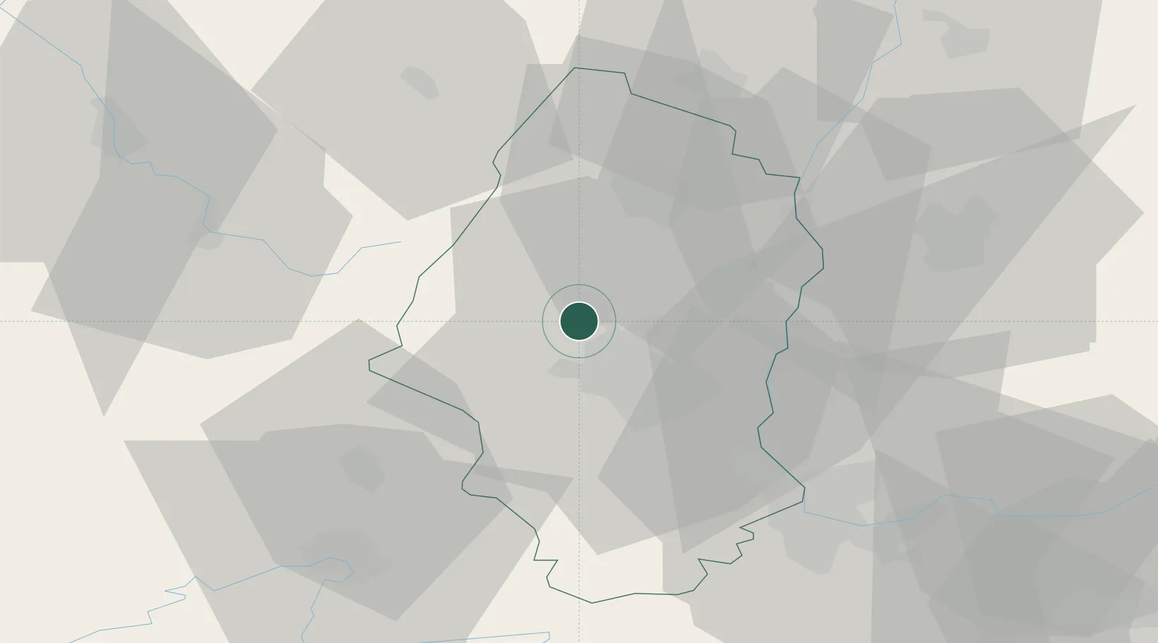
Place type
Populated place
Region
Grand Est
Population
6,963
Time zone
Europe/Paris
Elevation
272 m
Location
Nearby Logistics Neighbours
Cities
- 1Berrwiller4 km
- 2Staffelfelden8 km
- 3Westhalten8 km
- 4Osenbach11 km
- 5Wittenheim11 km
Ports
- 1Bruxelles391 km
- 2Savona409 km
- 3Genova409 km
- 4Rada Di Vado414 km
- 5Antwerpen423 km
Airports
Trade Zones
- 1ZFU Mulhouse17 km
- 2ZFU Belfort41 km
- 3ZFU Montbéliard53 km
- 4ZFU Neuhof84 km
- 5ZFU Hautepierre87 km
DatabookThe Record of Consolidated Knowledge
France beyond logistics?