UN/LOCODE hub · France
FRWRN

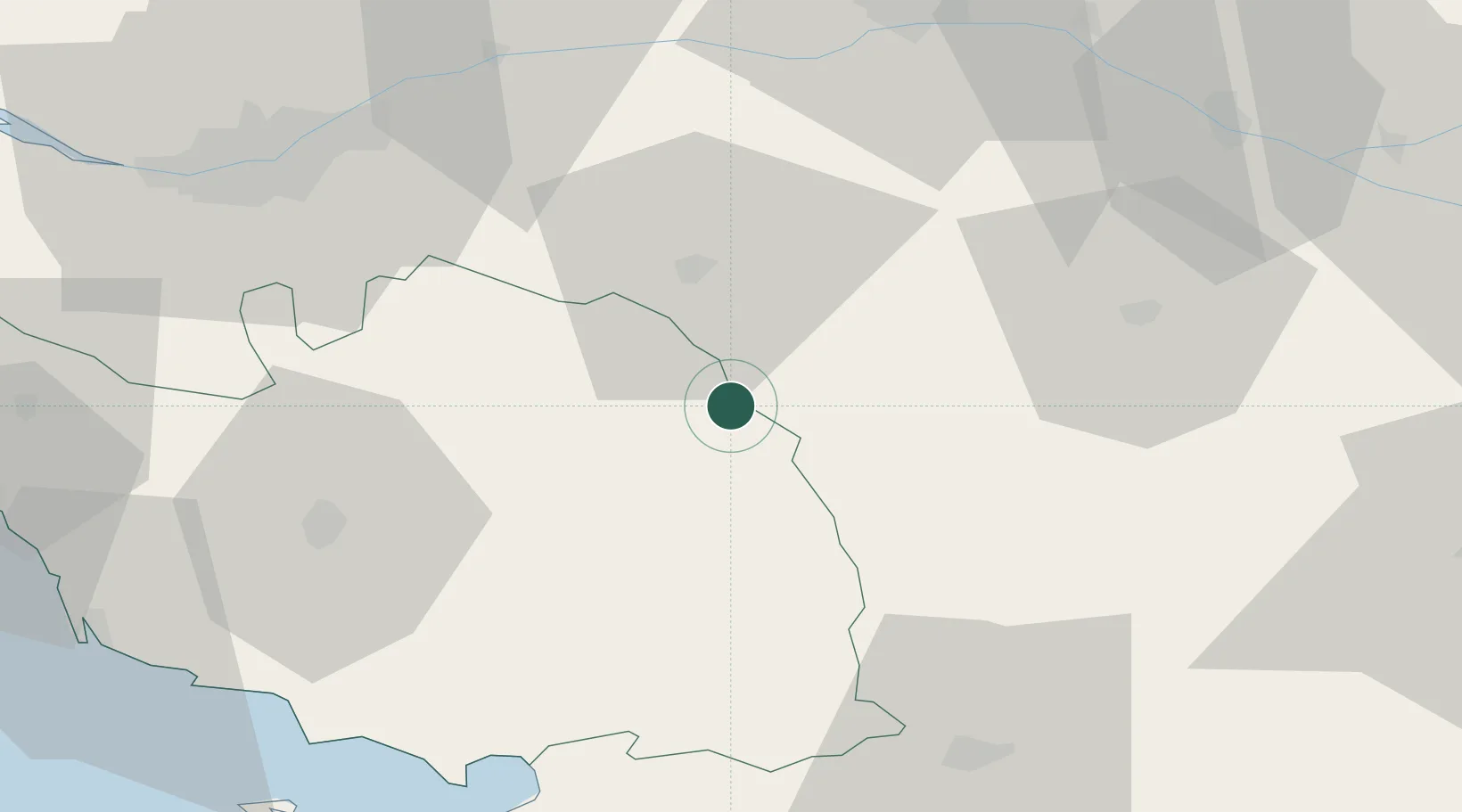
Les Châtelliers-Châteaumur

46.8500°, -0.8167°
731
Population
1
Transport functions

Transport Functions

Multimodal
UN/LOCODE

Hub Profile

Place type
Populated place
GeoNames
Region
Pays de la Loire
GeoNames
Population
731
GeoNames
Time zone
Europe/Paris
GeoNames
Elevation
197 m
GeoNames

Location

Location of FRWRN
Natural Earth 10m (public domain) · Pays de la Loire · FRWRN · 46.85, -0.82GoogleOSMYandex

Nearby Logistics Neighbours

Cities
  1. 1La Flocellière4 km
  2. 2Saint-Michel-Mont-Mercure5 km
  3. 3Chambretaud14 km
  4. 4Les Herbiers15 km
  5. 5Maulévrier19 km
Nearest neighbours — logibook spatial index (haversine) over the source coordinates
Ports
  1. 1Nantes69 km
  2. 2La Rochelle82 km
  3. 3La Pallice82 km
  4. 4Les Sables D' Olonne85 km
  5. 5Tonnay Charente102 km
Nearest neighbours — logibook spatial index (haversine) over the source coordinates
Airports
  1. 1La Roche-sur-Yon Les Ajoncs Airport46 km
  2. 2Niort - Marais Poitevin Airport68 km
  3. 3Nantes Atlantique Airport69 km
  4. 4La Rochelle Île de Ré Airport80 km
  5. 5Angers Marcé airport88 km
Nearest neighbours — logibook spatial index (haversine) over the source coordinates
Trade Zones
  1. 1ZFU Angers72 km
  2. 2ZFU Nantes et Saint-Herblain79 km
  3. 3ZFU La Rochelle82 km
  4. 4ZFU Saint-Nazaire120 km
  5. 5ZFU Le Mans144 km
Nearest neighbours — logibook spatial index (haversine) over the source coordinates
DatabookThe Record of Consolidated Knowledge
France beyond logistics?
Browse databook

All Sources

LocationsUN/LOCODE
UN/LOCODE — free
LocationsGeoNames
CC BY 4.0
Portsthe NGA World Port Index
Public domain (US gov)
AirportsOurAirports
Public domain
Trade Zonesthe World Bank SEZ database
CC BY 4.0
Trade ZonesOpen Zone Map
CC BY
← France locations