Transport Functions
Road
Multimodal
Hub Profile
Place type
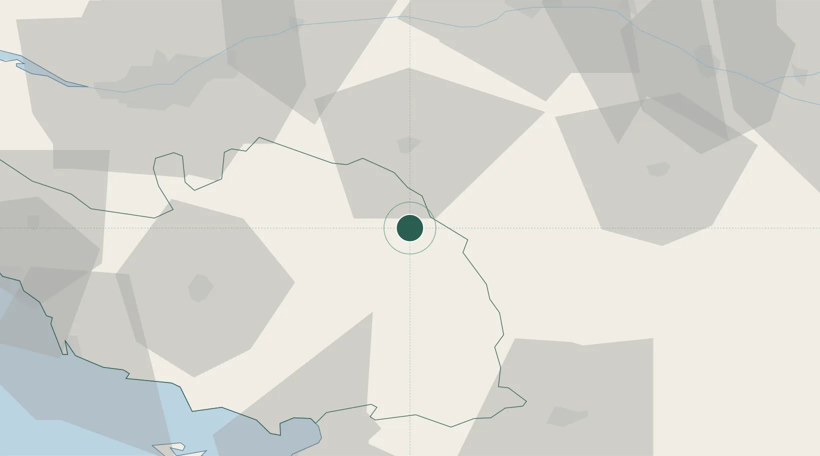
Populated place
Region
Pays de la Loire
Population
2,001
Time zone
Europe/Paris
Elevation
211 m
Location
Nearby Logistics Neighbours
Cities
- 1Saint-Michel-Mont-Mercure1 km
- 2Les Châtelliers-Châteaumur4 km
- 3Chambretaud12 km
- 4Les Herbiers12 km
- 5La Gaubretière19 km
Ports
- 1Nantes67 km
- 2La Pallice79 km
- 3La Rochelle79 km
- 4Les Sables D' Olonne80 km
- 5Tonnay Charente100 km
Airports
Trade Zones
- 1ZFU Angers75 km
- 2ZFU Nantes et Saint-Herblain77 km
- 3ZFU La Rochelle79 km
- 4ZFU Saint-Nazaire118 km
- 5ZFU Le Mans148 km
DatabookThe Record of Consolidated Knowledge
France beyond logistics?