UN/LOCODE hub · France
FRMJM

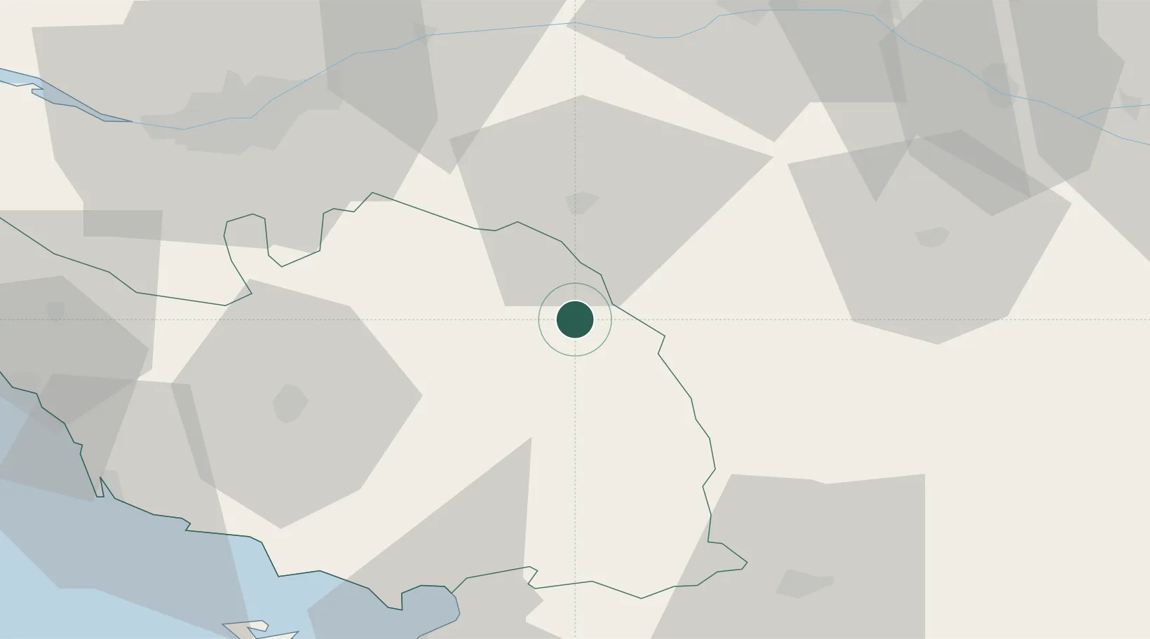
Saint-Michel-Mont-Mercure

46.8333°, -0.8833°
2,073
Population
2
Transport functions

Transport Functions

Road
Multimodal
UN/LOCODE

Hub Profile

Place type
Populated place
GeoNames
Region
Pays de la Loire
GeoNames
Population
2,073
GeoNames
Time zone
Europe/Paris
GeoNames
Elevation
262 m
GeoNames

Location

Location of FRMJM
Natural Earth 10m (public domain) · Pays de la Loire · FRMJM · 46.83, -0.88GoogleOSMYandex

Nearby Logistics Neighbours

Cities
  1. 1La Flocellière1 km
  2. 2Les Châtelliers-Châteaumur5 km
  3. 3Les Herbiers11 km
  4. 4Chambretaud11 km
  5. 5La Gaubretière18 km
Nearest neighbours — logibook spatial index (haversine) over the source coordinates
Ports
  1. 1Nantes66 km
  2. 2La Pallice78 km
  3. 3La Rochelle79 km
  4. 4Les Sables D' Olonne79 km
  5. 5Tonnay Charente100 km
Nearest neighbours — logibook spatial index (haversine) over the source coordinates
Airports
  1. 1La Roche-sur-Yon Les Ajoncs Airport41 km
  2. 2Nantes Atlantique Airport66 km
  3. 3Niort - Marais Poitevin Airport69 km
  4. 4La Rochelle Île de Ré Airport77 km
  5. 5Angers Marcé airport92 km
Nearest neighbours — logibook spatial index (haversine) over the source coordinates
Trade Zones
  1. 1ZFU Angers75 km
  2. 2ZFU Nantes et Saint-Herblain76 km
  3. 3ZFU La Rochelle79 km
  4. 4ZFU Saint-Nazaire116 km
  5. 5ZFU Le Mans149 km
Nearest neighbours — logibook spatial index (haversine) over the source coordinates
DatabookThe Record of Consolidated Knowledge
France beyond logistics?
Browse databook

All Sources

LocationsUN/LOCODE
UN/LOCODE — free
LocationsGeoNames
CC BY 4.0
Portsthe NGA World Port Index
Public domain (US gov)
AirportsOurAirports
Public domain
Trade Zonesthe World Bank SEZ database
CC BY 4.0
Trade ZonesOpen Zone Map
CC BY
← France locations