Transport Functions
Road
Multimodal
Hub Profile
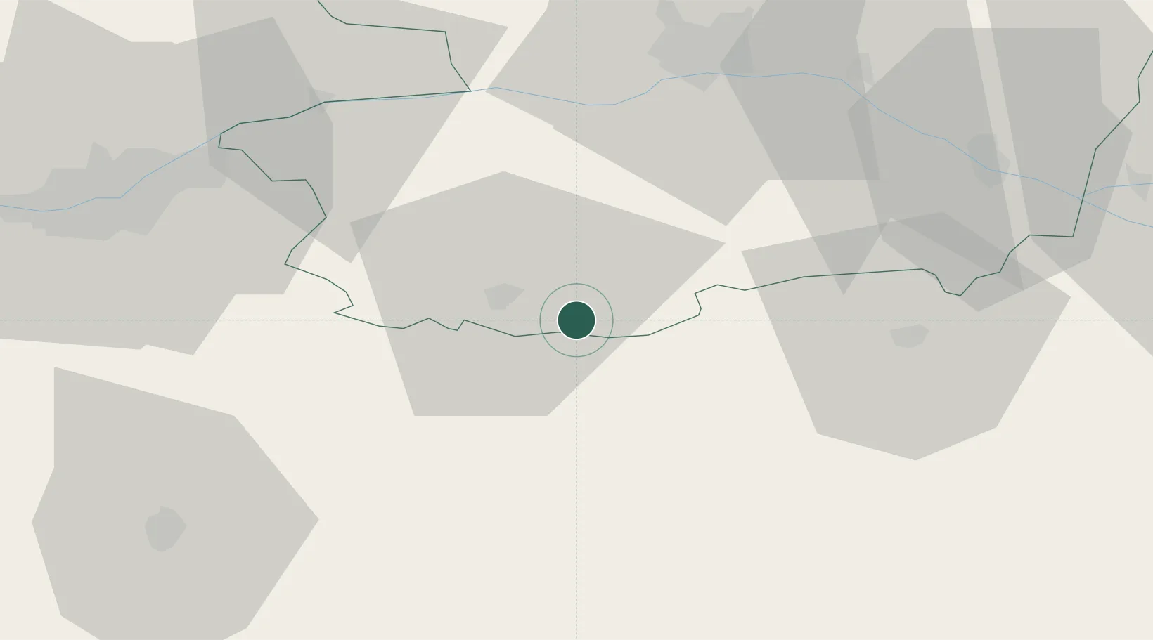
Place type
Populated place
Region
Pays de la Loire
Population
2,864
Time zone
Europe/Paris
Elevation
138 m
Location
Nearby Logistics Neighbours
Cities
- 1Mazières-en-Mauges6 km
- 2Cholet13 km
- 3Les Aubiers15 km
- 4Mortagne-sur-Sèvre15 km
- 5Saint-Paul-du-Bois17 km
Ports
- 1Nantes65 km
- 2Les Sables D' Olonne99 km
- 3La Pallice101 km
- 4La Rochelle101 km
- 5Donges104 km
Airports
Trade Zones
- 1ZFU Angers53 km
- 2ZFU Nantes et Saint-Herblain76 km
- 3ZFU La Rochelle101 km
- 4ZFU Saint-Nazaire119 km
- 5ZFU Le Mans126 km
DatabookThe Record of Consolidated Knowledge
France beyond logistics?