Transport Functions
Multimodal
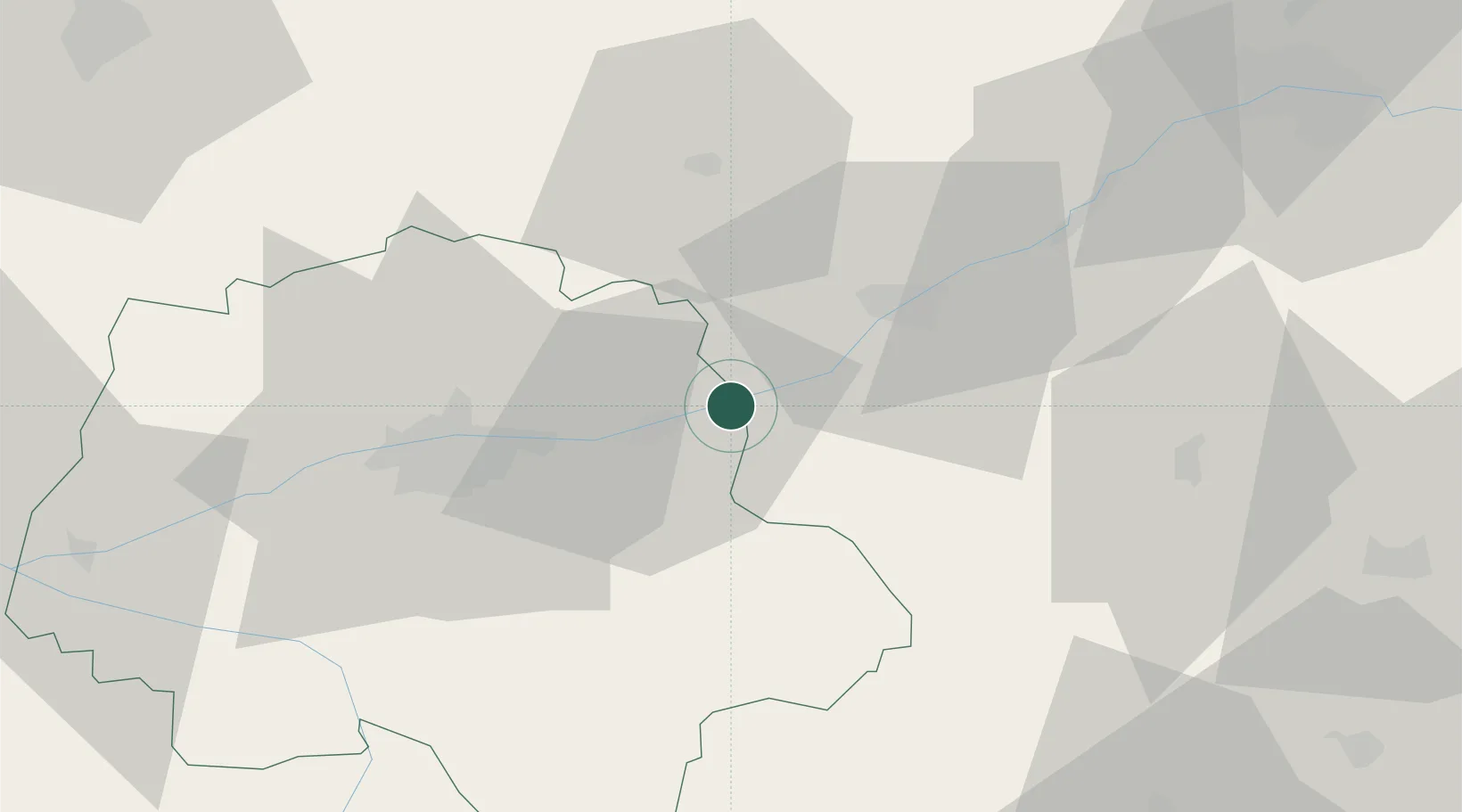
Hub Profile
Place type
Populated place
Region
Centre-Val de Loire
Population
770
Time zone
Europe/Paris
Elevation
65 m
Location
Nearby Logistics Neighbours
Cities
- 1Limeray5 km
- 2Chargé5 km
- 3Saint-Ouen-les-Vignes8 km
- 4Île-d'Houat8 km
- 5Candé-sur-Beuvron13 km
Ports
- 1Nantes203 km
- 2Port De Caen221 km
- 3Port Of Rouen222 km
- 4La Rochelle224 km
- 5Deauville226 km
Airports
Trade Zones
- 1ZFU Blois19 km
- 2ZFU Orléans73 km
- 3ZFU Le Mans94 km
- 4ZFU Bourges102 km
- 5ZFU Angers128 km
DatabookThe Record of Consolidated Knowledge
France beyond logistics?