UN/LOCODE hub · France
FRS37

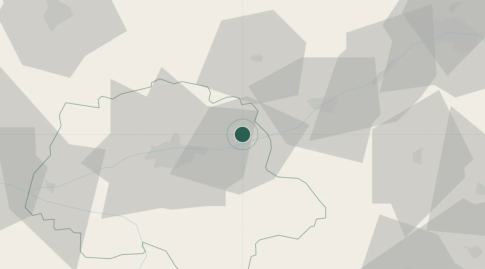
Saint-Ouen-les-Vignes

47.4667°, 1.0000°
990
Population
1
Transport functions

Transport Functions

Multimodal
UN/LOCODE

Hub Profile

Place type
Populated place
GeoNames
Region
Centre-Val de Loire
GeoNames
Population
990
GeoNames
Time zone
Europe/Paris
GeoNames
Elevation
80 m
GeoNames

Location

Location of FRS37
Natural Earth 10m (public domain) · Centre-Val de Loire · FRS37 · 47.47, 1.00GoogleOSMYandex

Nearby Logistics Neighbours

Cities
  1. 1Limeray3 km
  2. 2Chargé5 km
  3. 3Mosnes8 km
  4. 4Champtocé-sur-Loire8 km
  5. 5Reugny9 km
Nearest neighbours — logibook spatial index (haversine) over the source coordinates
Ports
  1. 1Nantes196 km
  2. 2Port De Caen215 km
  3. 3La Rochelle220 km
  4. 4Port Of Rouen221 km
  5. 5Deauville222 km
Nearest neighbours — logibook spatial index (haversine) over the source coordinates
Airports
  1. 1Tours Val de Loire Airport21 km
  2. 2Châteaudun Airfield72 km
  3. 3Le Mans-Arnage Airport80 km
  4. 4Orléans-Bricy (BA 123) Air Base81 km
  5. 5Châteauroux Déols airport87 km
Nearest neighbours — logibook spatial index (haversine) over the source coordinates
Trade Zones
  1. 1ZFU Blois24 km
  2. 2ZFU Orléans78 km
  3. 3ZFU Le Mans87 km
  4. 4ZFU Bourges109 km
  5. 5ZFU Angers120 km
Nearest neighbours — logibook spatial index (haversine) over the source coordinates
DatabookThe Record of Consolidated Knowledge
France beyond logistics?
Browse databook

All Sources

LocationsUN/LOCODE
UN/LOCODE — free
LocationsGeoNames
CC BY 4.0
Portsthe NGA World Port Index
Public domain (US gov)
AirportsOurAirports
Public domain
Trade Zonesthe World Bank SEZ database
CC BY 4.0
Trade ZonesOpen Zone Map
CC BY
← France locations