Transport Functions
Multimodal
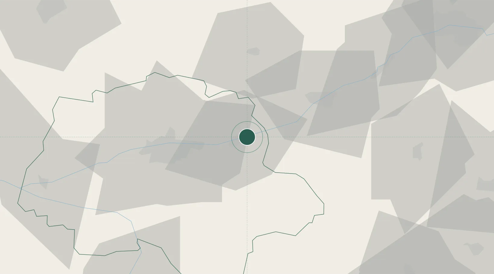
Hub Profile
Place type
Populated place
Region
Centre-Val de Loire
Population
1,005
Time zone
Europe/Paris
Elevation
63 m
Location
Nearby Logistics Neighbours
Cities
- 1Limeray4 km
- 2Saint-Ouen-les-Vignes5 km
- 3Mosnes5 km
- 4Île-d'Houat6 km
- 5Lussault-sur-Loire10 km
Ports
- 1Nantes198 km
- 2La Rochelle219 km
- 3Port De Caen220 km
- 4La Pallice222 km
- 5Tonnay Charente223 km
Airports
Trade Zones
- 1ZFU Blois24 km
- 2ZFU Orléans78 km
- 3ZFU Le Mans91 km
- 4ZFU Bourges105 km
- 5ZFU Angers123 km
DatabookThe Record of Consolidated Knowledge
France beyond logistics?