Transport Functions
Port
Hub Profile
Place type
Populated place
Region
Brittany
Time zone
Europe/Paris
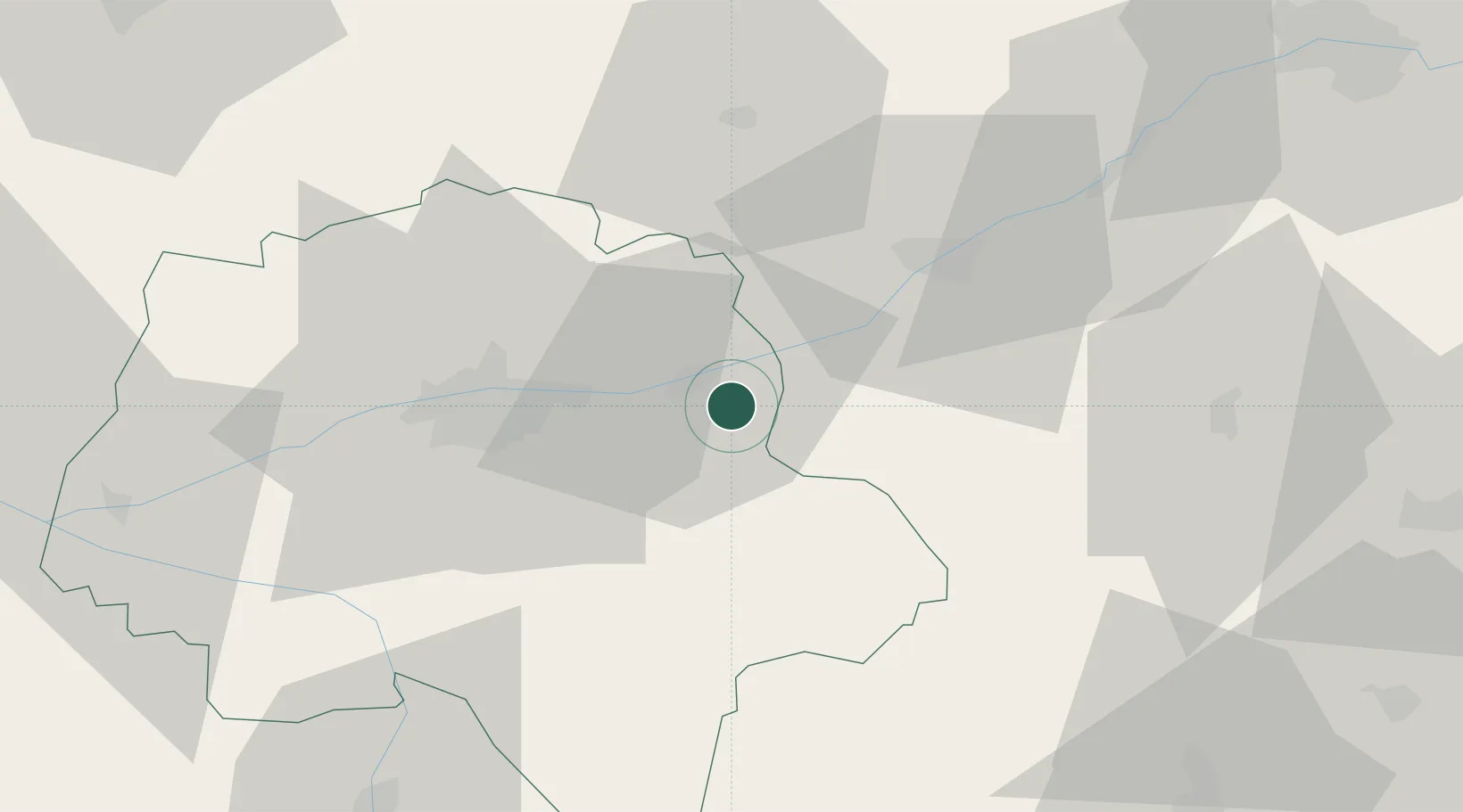
Location
Nearby Logistics Neighbours
Cities
- 1Chargé6 km
- 2La Croix-en-Touraine8 km
- 3Francueil8 km
- 4Mosnes8 km
- 5Dierre8 km
Ports
- 1Nantes198 km
- 2La Rochelle217 km
- 3La Pallice219 km
- 4Tonnay Charente219 km
- 5Rochefort222 km
Airports
Trade Zones
- 1ZFU Blois28 km
- 2ZFU Orléans81 km
- 3ZFU Le Mans96 km
- 4ZFU Bourges102 km
- 5ZFU Angers124 km
DatabookThe Record of Consolidated Knowledge
France beyond logistics?