Transport Functions
Port
Road
Hub Profile
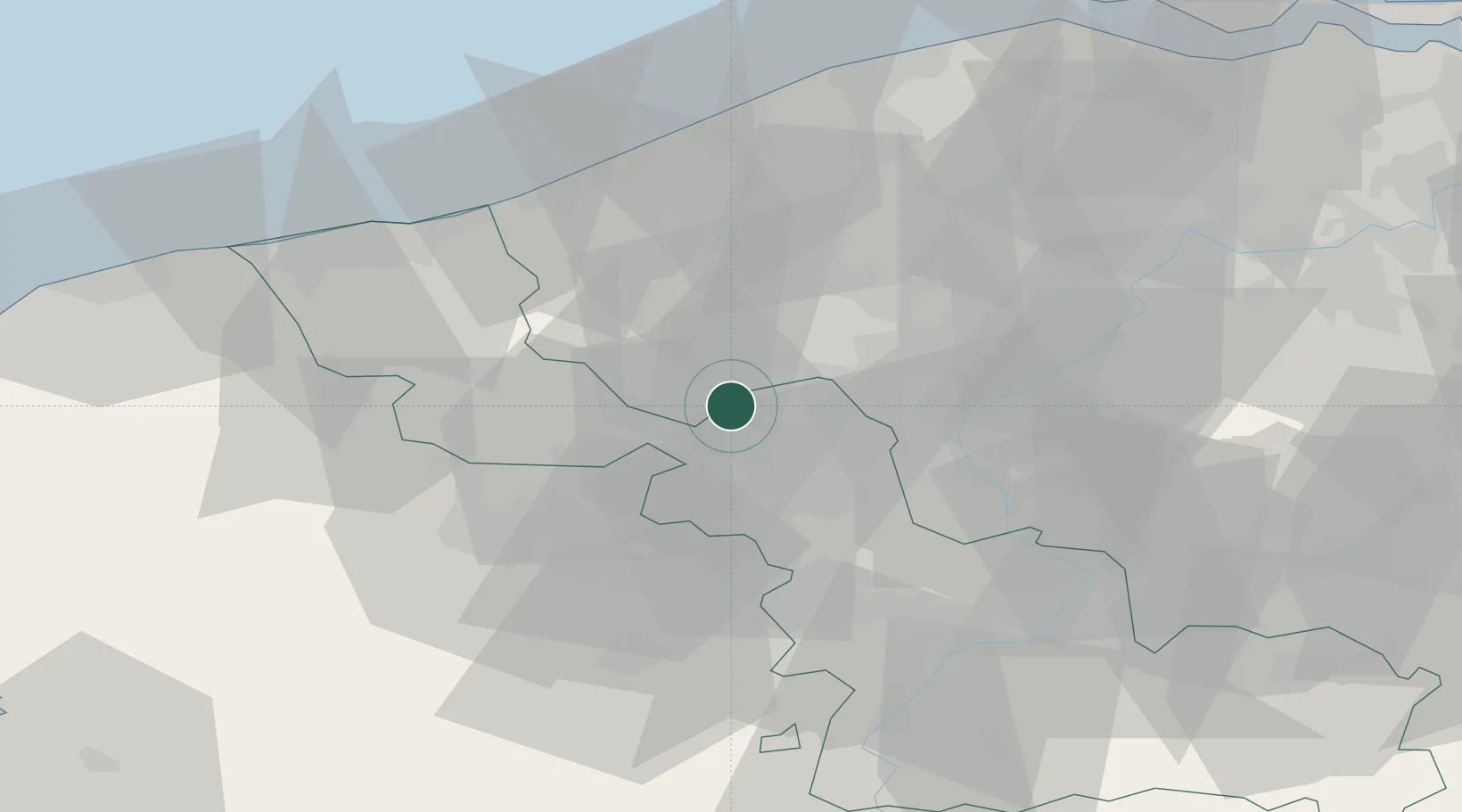
Place type
Populated place
Region
Hauts-de-France
Time zone
Europe/Paris
Elevation
14 m
Location
Nearby Logistics Neighbours
Cities
- 1Warneton2 km
- 2Quesnoy-sur-Deûle4 km
- 3Comines4 km
- 4Armentières7 km
- 5Lompret8 km
Ports
- 1Nieuwpoort47 km
- 2Oostende56 km
- 3Dunkerque Port Est56 km
- 4Bruges59 km
- 5Gravelines66 km
Airports
DatabookThe Record of Consolidated Knowledge
France beyond logistics?