UN/LOCODE hub · France
FRZGX
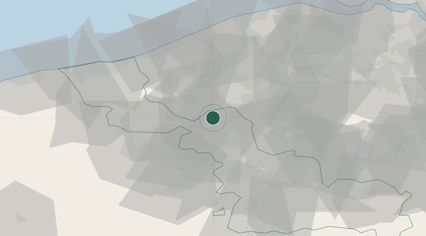
Quesnoy-sur-Deûle
50.7167°, 3.0000°
6,496
Population
3
Transport functions
Transport Functions
Rail
Road
Multimodal
Hub Profile
Place type
Populated place
Region
Hauts-de-France
Population
6,496
Time zone
Europe/Paris
Elevation
21 m
Location
Nearby Logistics Neighbours
Ports
- 1Nieuwpoort50 km
- 2Oostende58 km
- 3Bruges59 km
- 4Dunkerque Port Est60 km
- 5Ghent65 km
Airports
DatabookThe Record of Consolidated Knowledge
France beyond logistics?