Transport Functions
Port
Rail
Road
Hub Profile
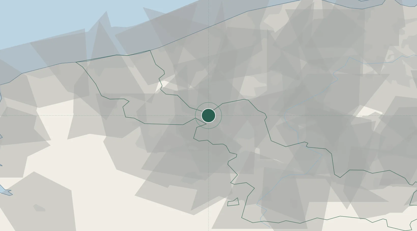
Place type
Populated place
Region
Hauts-de-France
Population
26,646
Time zone
Europe/Paris
Elevation
21 m
Location
Nearby Logistics Neighbours
Cities
- 1Bois-Grenier4 km
- 2Capinghem7 km
- 3Warneton7 km
- 4Steenwerck7 km
- 5Lompret7 km
Ports
- 1Nieuwpoort51 km
- 2Dunkerque Port Est57 km
- 3Oostende61 km
- 4Gravelines64 km
- 5Bruges66 km
Airports
DatabookThe Record of Consolidated Knowledge
France beyond logistics?