Transport Functions
Rail
Road
Hub Profile
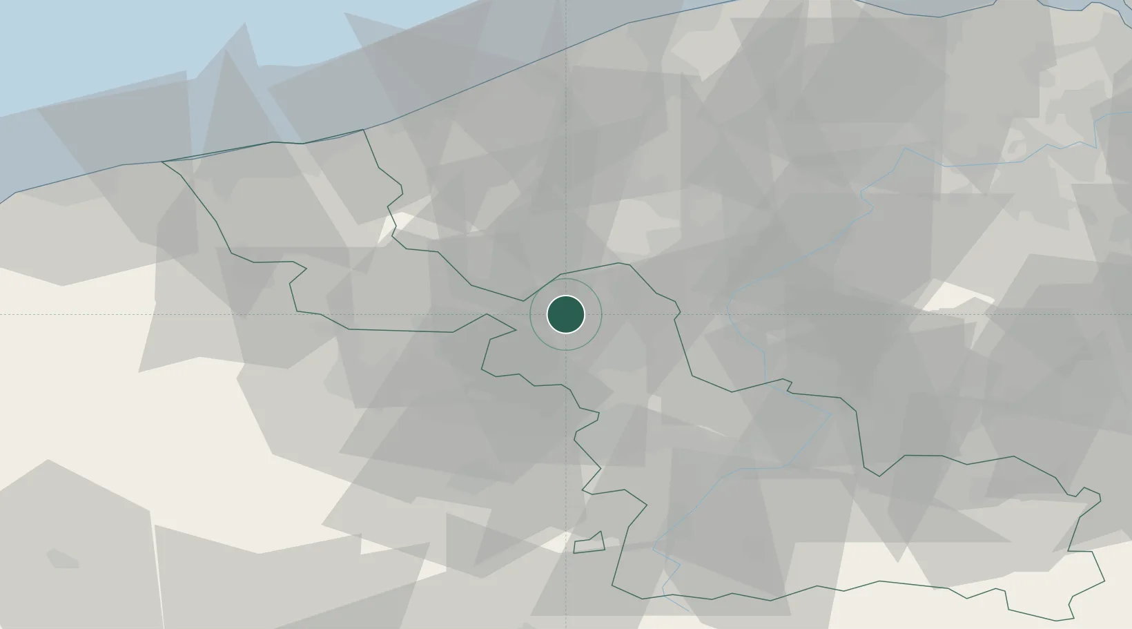
Place type
Populated place
Region
Hauts-de-France
Population
2,406
Time zone
Europe/Paris
Elevation
25 m
Location
Nearby Logistics Neighbours
Cities
- 1Capinghem2 km
- 2Délivrance/Lille4 km
- 3Lambersart4 km
- 4Champs-de-Mars/Lille5 km
- 5Lille6 km
Ports
- 1Nieuwpoort54 km
- 2Dunkerque Port Est63 km
- 3Oostende63 km
- 4Bruges65 km
- 5Ghent69 km
Airports
DatabookThe Record of Consolidated Knowledge
France beyond logistics?