Transport Functions
Port
Road
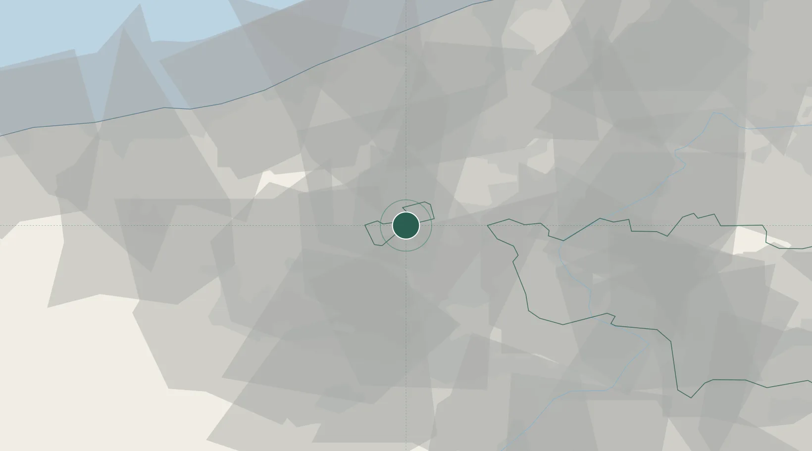
Hub Profile
Place type
Populated place
Region
Wallonia
Population
3,039
Time zone
Europe/Brussels
Elevation
22 m
Location
Nearby Logistics Neighbours
Cities
- 1Warneton2 km
- 2Comines3 km
- 3Quesnoy-sur-Deûle5 km
- 4Wervik7 km
- 5Armentières9 km
Ports
- 1Nieuwpoort45 km
- 2Oostende54 km
- 3Dunkerque Port Est55 km
- 4Bruges57 km
- 5Gravelines65 km
Airports
DatabookThe Record of Consolidated Knowledge
Belgium beyond logistics?