Transport Functions
Multimodal
Hub Profile
Place type
Populated place
Region
Grand Est
Population
141
Time zone
Europe/Paris
Elevation
117 m
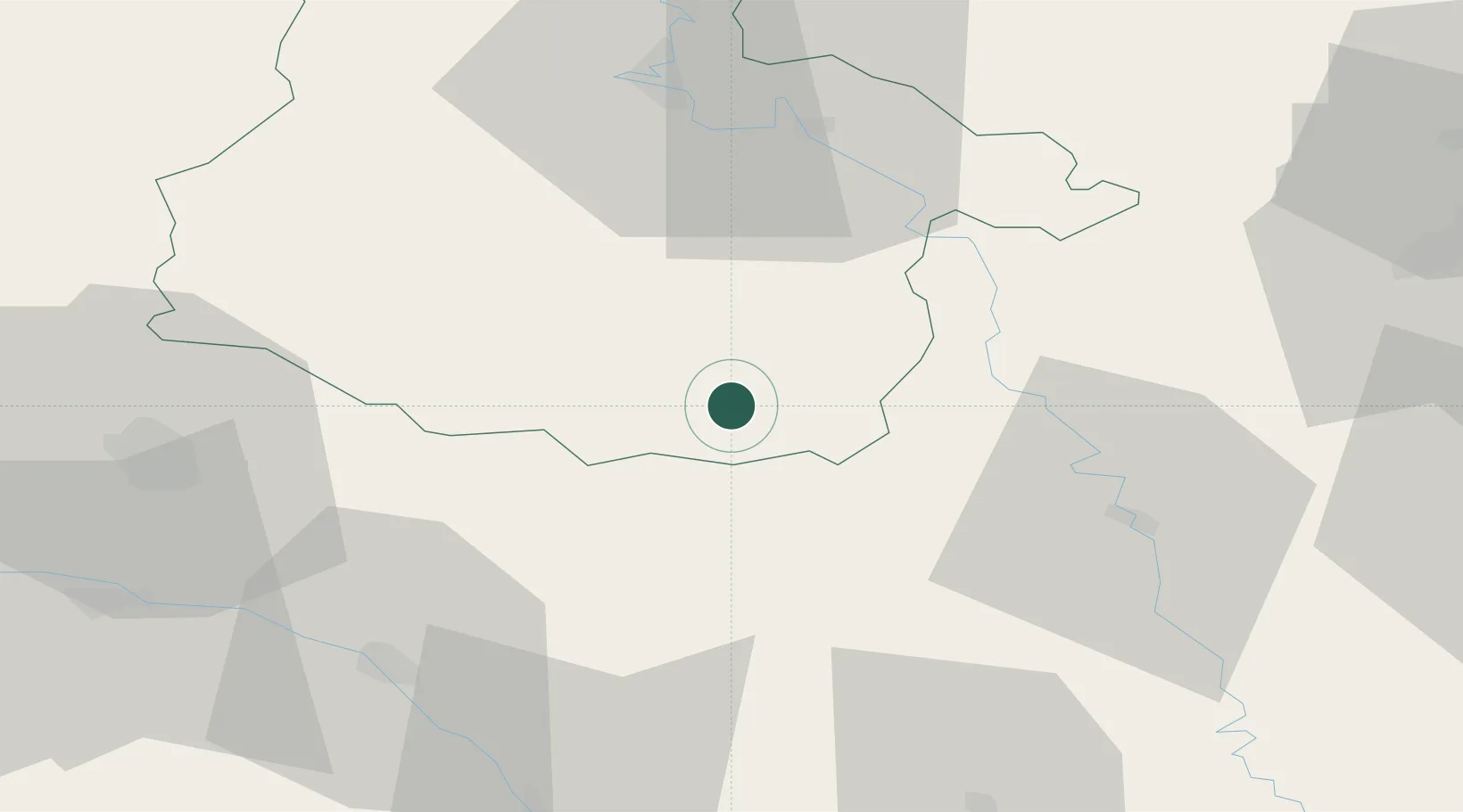
Location
Nearby Logistics Neighbours
Cities
- 1Vouziers13 km
- 2Le Chesne23 km
- 3Valmy26 km
- 4Ménil-Annelles31 km
- 5Malmy32 km
Airports
Trade Zones
- 1ZFU Ronde Couture49 km
- 2ZFU Reims62 km
- 3ZFU Saint-Dizier76 km
- 4ZFU Woippy-Metz97 km
- 5ZFU Metz99 km
DatabookThe Record of Consolidated Knowledge
France beyond logistics?