Transport Functions
Multimodal
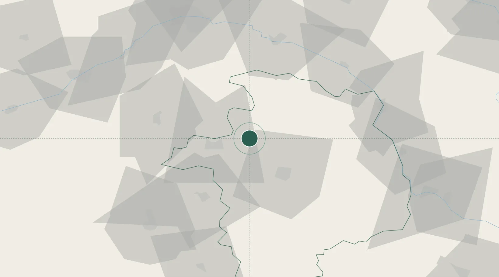
Hub Profile
Place type
Populated place
Region
Centre-Val de Loire
Population
525
Time zone
Europe/Paris
Elevation
130 m
Location
Nearby Logistics Neighbours
Cities
- 1Brinay15 km
- 2Berry-Bouy17 km
- 3Preuilly19 km
- 4Cerbois20 km
- 5Vignoux-sous-les-Aix20 km
Ports
- 1Port Of Rouen258 km
- 2Tonnay Charente282 km
- 3Honfleur282 km
- 4Deauville283 km
- 5Rochefort285 km
Airports
Trade Zones
- 1ZFU Bourges22 km
- 2ZFU Orléans74 km
- 3ZFU Blois81 km
- 4ZFU Sens129 km
- 5ZFU Montereau-Fault-Yonne136 km
DatabookThe Record of Consolidated Knowledge
France beyond logistics?