Transport Functions
Multimodal
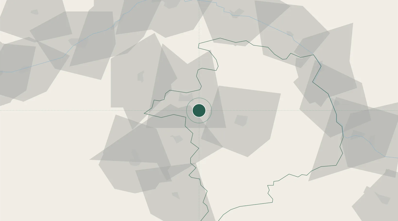
Hub Profile
Place type
Populated place
Region
Centre-Val de Loire
Population
478
Time zone
Europe/Paris
Elevation
112 m
Location
Nearby Logistics Neighbours
Cities
- 1Cerbois5 km
- 2Preuilly7 km
- 3Lazenay11 km
- 4Berry-Bouy13 km
- 5Vouzeron15 km
Ports
- 1Port Of Rouen268 km
- 2Tonnay Charente269 km
- 3Rochefort272 km
- 4La Rochelle274 km
- 5La Pallice278 km
Airports
Trade Zones
- 1ZFU Bourges17 km
- 2ZFU Blois81 km
- 3ZFU Orléans83 km
- 4ZFU Sens144 km
- 5ZFU Montereau-Fault-Yonne151 km
DatabookThe Record of Consolidated Knowledge
France beyond logistics?