Transport Functions
Multimodal
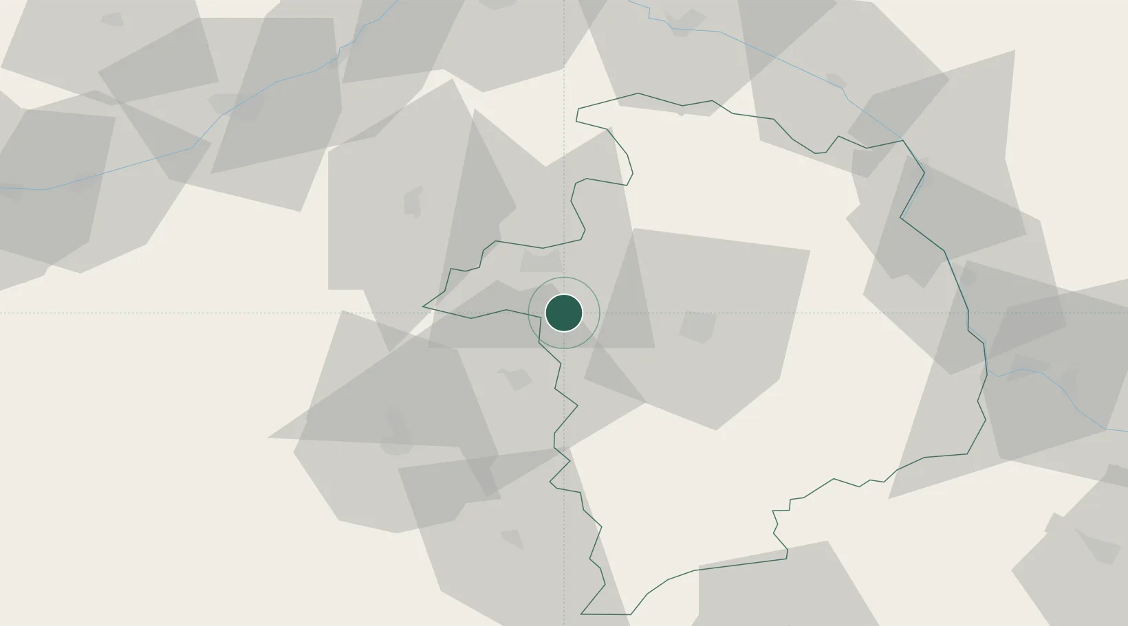
Hub Profile
Place type
Populated place
Region
Centre-Val de Loire
Population
361
Time zone
Europe/Paris
Elevation
124 m
Location
Nearby Logistics Neighbours
Cities
- 1Brinay5 km
- 2Lazenay6 km
- 3Preuilly7 km
- 4Sainte-Lizaigne14 km
- 5Berry-Bouy15 km
Ports
- 1Tonnay Charente265 km
- 2Rochefort268 km
- 3La Rochelle270 km
- 4Port Of Rouen271 km
- 5La Pallice274 km
Airports
- 1Bourges airport21 km
- 2Châteauroux Déols airport40 km
- 3Avord (BA 702) Air Base41 km
- 4Nevers-Fourchambault Airport78 km
- 5Orléans-Bricy (BA 123) Air Base100 km
Trade Zones
- 1ZFU Bourges18 km
- 2ZFU Blois81 km
- 3ZFU Orléans86 km
- 4ZFU Sens149 km
- 5ZFU Montereau-Fault-Yonne155 km
DatabookThe Record of Consolidated Knowledge
France beyond logistics?