Transport Functions
Multimodal
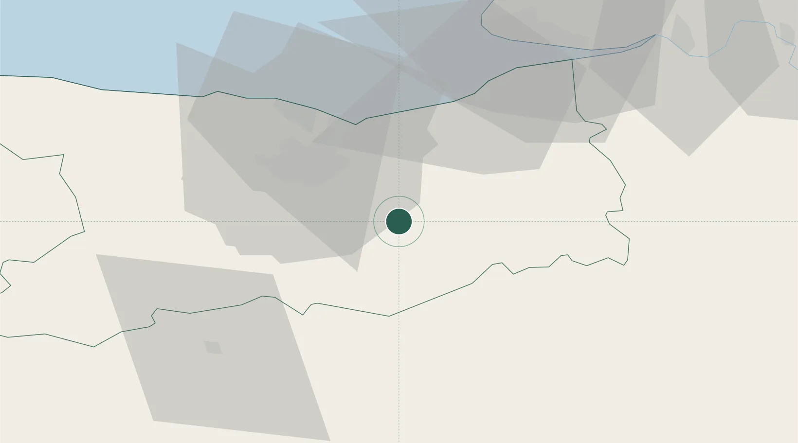
Hub Profile
Place type
Populated place
Region
Normandy
Population
348
Time zone
Europe/Paris
Elevation
46 m
Location
Nearby Logistics Neighbours
Cities
- 1Mézidon-Canon5 km
- 2Fierville-la-Campagne5 km
- 3Fierville-Bray6 km
- 4Soumont-Saint-Quentin12 km
- 5Garcelles-Secqueville13 km
Ports
- 1Port De Caen23 km
- 2Ouistreham28 km
- 3Deauville38 km
- 4Honfleur47 km
- 5Port Of Le Havre51 km
Airports
Trade Zones
- 1ZFU Hérouville-Saint-Clair24 km
- 2ZFU La Guérinière, La Grâce de Dieu26 km
- 3ZFU Le Havre53 km
- 4ZFU Alençon70 km
- 5ZFU Évreux92 km
DatabookThe Record of Consolidated Knowledge
France beyond logistics?