Transport Functions
Multimodal
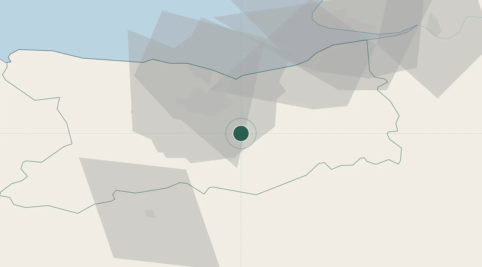
Hub Profile
Place type
Populated place
Region
Normandy
Time zone
Europe/Paris
Elevation
47 m
Location
Nearby Logistics Neighbours
Cities
- 1Fierville-la-Campagne1 km
- 2Vieux-Fumé6 km
- 3Garcelles-Secqueville7 km
- 4Mézidon-Canon10 km
- 5Cagny10 km
Ports
- 1Port De Caen17 km
- 2Ouistreham24 km
- 3Deauville39 km
- 4Honfleur49 km
- 5Port Of Le Havre52 km
Airports
- 1Caen Carpiquet airport22 km
- 2Deauville Normandie airport42 km
- 3Le Havre-Octeville Airport56 km
- 4Granville Airport102 km
- 5Évreux-Fauville (BA 105) Air Base104 km
Trade Zones
- 1ZFU Hérouville-Saint-Clair19 km
- 2ZFU La Guérinière, La Grâce de Dieu20 km
- 3ZFU Le Havre54 km
- 4ZFU Alençon74 km
- 5ZFU Évreux99 km
DatabookThe Record of Consolidated Knowledge
France beyond logistics?