Transport Functions
Rail
Road
Hub Profile
Place type
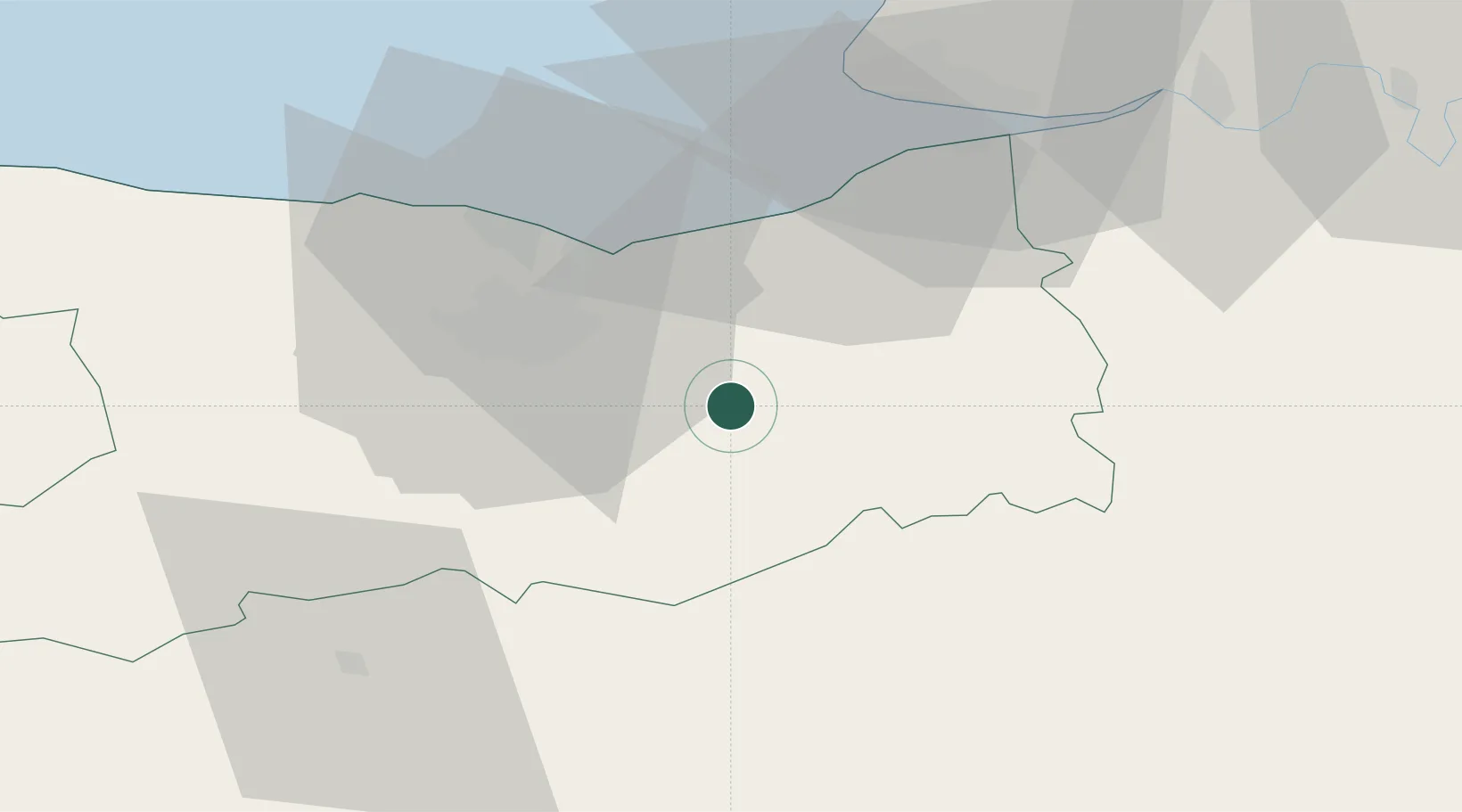
Populated place
Region
Normandy
Time zone
Europe/Paris
Elevation
20 m
Location
Nearby Logistics Neighbours
Cities
- 1Vieux-Fumé5 km
- 2Fierville-la-Campagne9 km
- 3Fierville-Bray10 km
- 4Grandouet12 km
- 5Montreuil-en-Auge13 km
Ports
- 1Port De Caen23 km
- 2Ouistreham26 km
- 3Deauville33 km
- 4Honfleur42 km
- 5Port Of Le Havre46 km
Airports
Trade Zones
- 1ZFU Hérouville-Saint-Clair25 km
- 2ZFU La Guérinière, La Grâce de Dieu27 km
- 3ZFU Le Havre49 km
- 4ZFU Alençon73 km
- 5ZFU Évreux89 km
DatabookThe Record of Consolidated Knowledge
France beyond logistics?