Transport Functions
Road
Multimodal
Hub Profile
Region
14
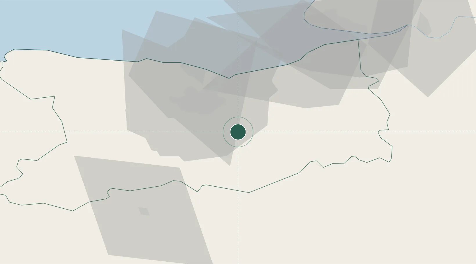
Location
Nearby Logistics Neighbours
Cities
- 1Fierville-Bray1 km
- 2Vieux-Fumé5 km
- 3Garcelles-Secqueville8 km
- 4Mézidon-Canon9 km
- 5Cagny11 km
Ports
- 1Port De Caen18 km
- 2Ouistreham25 km
- 3Deauville39 km
- 4Honfleur49 km
- 5Port Of Le Havre51 km
Airports
- 1Caen Carpiquet airport23 km
- 2Deauville Normandie airport41 km
- 3Le Havre-Octeville Airport56 km
- 4Évreux-Fauville (BA 105) Air Base102 km
- 5Granville Airport103 km
Trade Zones
- 1ZFU Hérouville-Saint-Clair20 km
- 2ZFU La Guérinière, La Grâce de Dieu21 km
- 3ZFU Le Havre53 km
- 4ZFU Alençon73 km
- 5ZFU Évreux97 km
DatabookThe Record of Consolidated Knowledge
France beyond logistics?