UN/LOCODE hub · France
FRGSQ
Garcelles-Secqueville
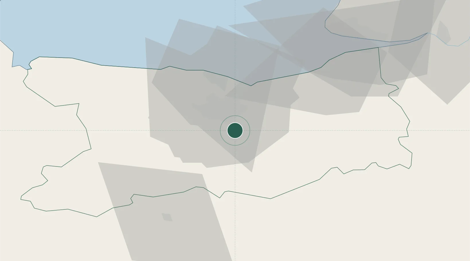
49.1000°, -0.2833°
525
Population
2
Transport functions
Transport Functions
Rail
Postal
Hub Profile
Place type
Populated place
Region
Normandy
Population
525
Time zone
Europe/Paris
Elevation
79 m
Location
Nearby Logistics Neighbours
Cities
- 1Cagny6 km
- 2Ifs6 km
- 3Cormelles-le-Royal7 km
- 4Fierville-Bray7 km
- 5Fierville-la-Campagne8 km
Ports
- 1Port De Caen11 km
- 2Ouistreham21 km
- 3Deauville40 km
- 4Honfleur51 km
- 5Port Of Le Havre52 km
Airports
- 1Caen Carpiquet airport15 km
- 2Deauville Normandie airport43 km
- 3Le Havre-Octeville Airport55 km
- 4Granville Airport97 km
- 5Cherbourg Manche airport106 km
Trade Zones
- 1ZFU Hérouville-Saint-Clair13 km
- 2ZFU La Guérinière, La Grâce de Dieu13 km
- 3ZFU Le Havre53 km
- 4ZFU Alençon79 km
- 5ZFU Évreux105 km
DatabookThe Record of Consolidated Knowledge
France beyond logistics?