UN/LOCODE hub · France
FRSUQ

Soumont-Saint-Quentin
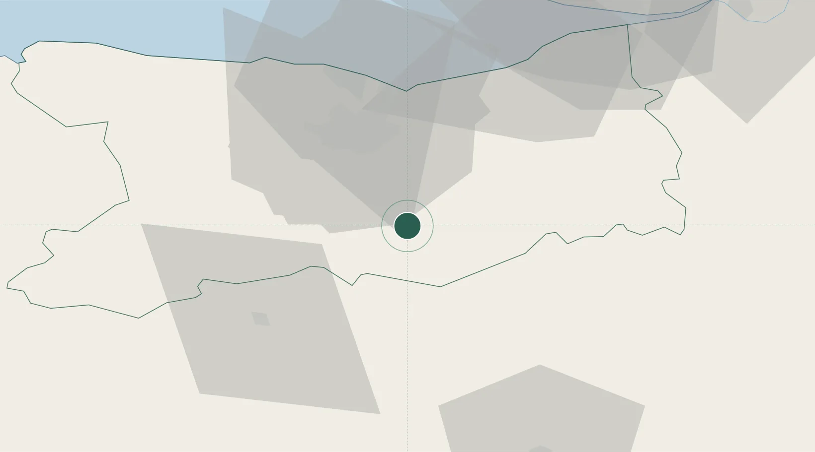
48.9667°, -0.2167°
505
Population
2
Transport functions

Transport Functions

Road
Multimodal
UN/LOCODE

Hub Profile

Place type
Populated place
GeoNames
Region
Normandy
GeoNames
Population
505
GeoNames
Time zone
Europe/Paris
GeoNames
Elevation
141 m
GeoNames

Location

Location of FRSUQ
Natural Earth 10m (public domain) · Normandy · FRSUQ · 48.97, -0.22GoogleOSMYandex

Nearby Logistics Neighbours

Cities
  1. 1Falaise8 km
  2. 2Fierville-Bray11 km
  3. 3Fierville-la-Campagne11 km
  4. 4Vieux-Fumé12 km
  5. 5Garcelles-Secqueville16 km
Nearest neighbours — logibook spatial index (haversine) over the source coordinates
Ports
  1. 1Port De Caen26 km
  2. 2Ouistreham35 km
  3. 3Deauville50 km
  4. 4Honfleur59 km
  5. 5Port Of Le Havre62 km
Nearest neighbours — logibook spatial index (haversine) over the source coordinates
Airports
  1. 1Caen Carpiquet airport29 km
  2. 2Deauville Normandie airport52 km
  3. 3Le Havre-Octeville Airport67 km
  4. 4Granville Airport99 km
  5. 5Évreux-Fauville (BA 105) Air Base105 km
Nearest neighbours — logibook spatial index (haversine) over the source coordinates
Trade Zones
  1. 1ZFU La Guérinière, La Grâce de Dieu28 km
  2. 2ZFU Hérouville-Saint-Clair28 km
  3. 3ZFU Alençon64 km
  4. 4ZFU Le Havre64 km
  5. 5ZFU Évreux100 km
Nearest neighbours — logibook spatial index (haversine) over the source coordinates
DatabookThe Record of Consolidated Knowledge
France beyond logistics?
Browse databook

All Sources

LocationsUN/LOCODE
UN/LOCODE — free
LocationsGeoNames
CC BY 4.0
Portsthe NGA World Port Index
Public domain (US gov)
AirportsOurAirports
Public domain
Trade Zonesthe World Bank SEZ database
CC BY 4.0
Trade ZonesOpen Zone Map
CC BY
← France locations