Transport Functions
Port
Road
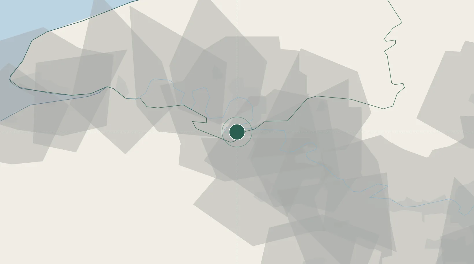
Hub Profile
Place type
Populated place
Region
Normandy
Population
453
Time zone
Europe/Paris
Elevation
10 m
Location
Nearby Logistics Neighbours
Cities
- 1Criquebeuf-sur-Seine4 km
- 2Val-de-la-Haye7 km
- 3Gouy9 km
- 4Petit-Couronne9 km
- 5Rouen10 km
Ports
- 1Port Of Rouen17 km
- 2Honfleur62 km
- 3Deauville70 km
- 4Dieppe71 km
- 5Port Of Le Havre71 km
Airports
Trade Zones
- 1ZFU Rouen Bihorel18 km
- 2ZFU Évreux31 km
- 3ZFU Mantes-la-Jolie59 km
- 4ZFU Dreux et Sainte-Gemme-Moronval66 km
- 5ZFU Les Mureaux71 km
DatabookThe Record of Consolidated Knowledge
France beyond logistics?