Transport Functions
Rail
Road
Multimodal
Hub Profile
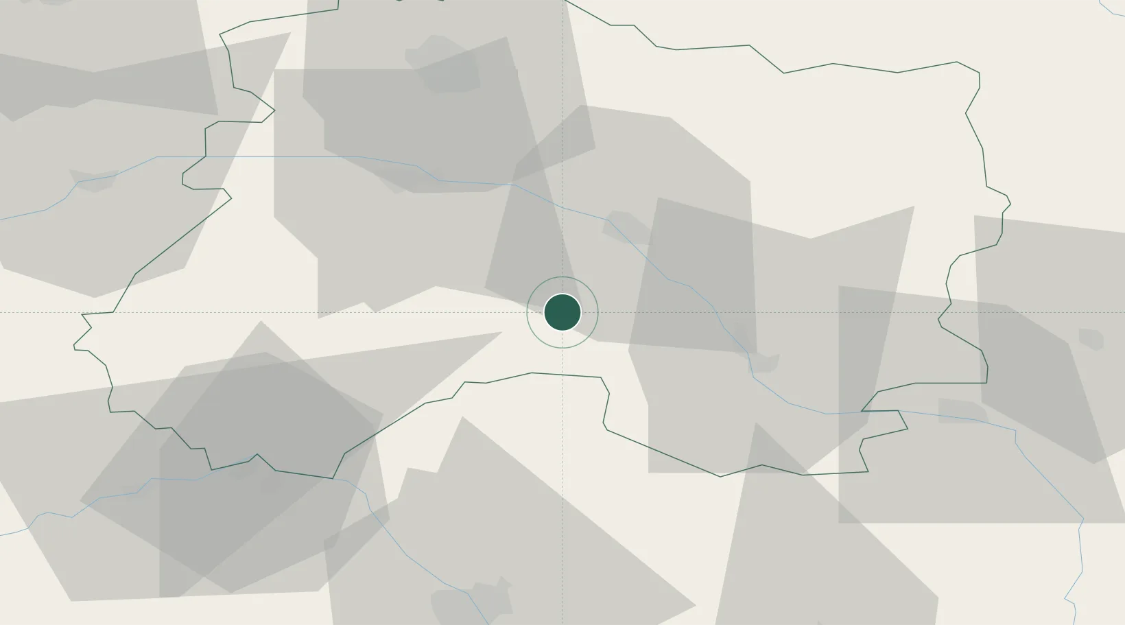
Place type
Populated place
Region
Grand Est
Population
106
Time zone
Europe/Paris
Elevation
124 m
Location
Nearby Logistics Neighbours
Cities
- 1Bussy-Lettrée2 km
- 2Fagnières16 km
- 3La Ferté-sous-Jouarre16 km
- 4Châlons-en-Champagne17 km
- 5Pogny18 km
Ports
- 1Bruxelles228 km
- 2Ghent253 km
- 3Antwerpen267 km
- 4Bruges279 km
- 5Nieuwpoort279 km
Airports
Trade Zones
- 1ZFU Saint-Dizier50 km
- 2ZFU Reims52 km
- 3ZFU La Chapelle Saint-Luc, Les Noës-près-Troyes, Troyes, Sainte-Savine59 km
- 4ZFU Presles, Chevreux93 km
- 5ZFU Sens100 km
DatabookThe Record of Consolidated Knowledge
France beyond logistics?