UN/LOCODE hub · France
FRCSM

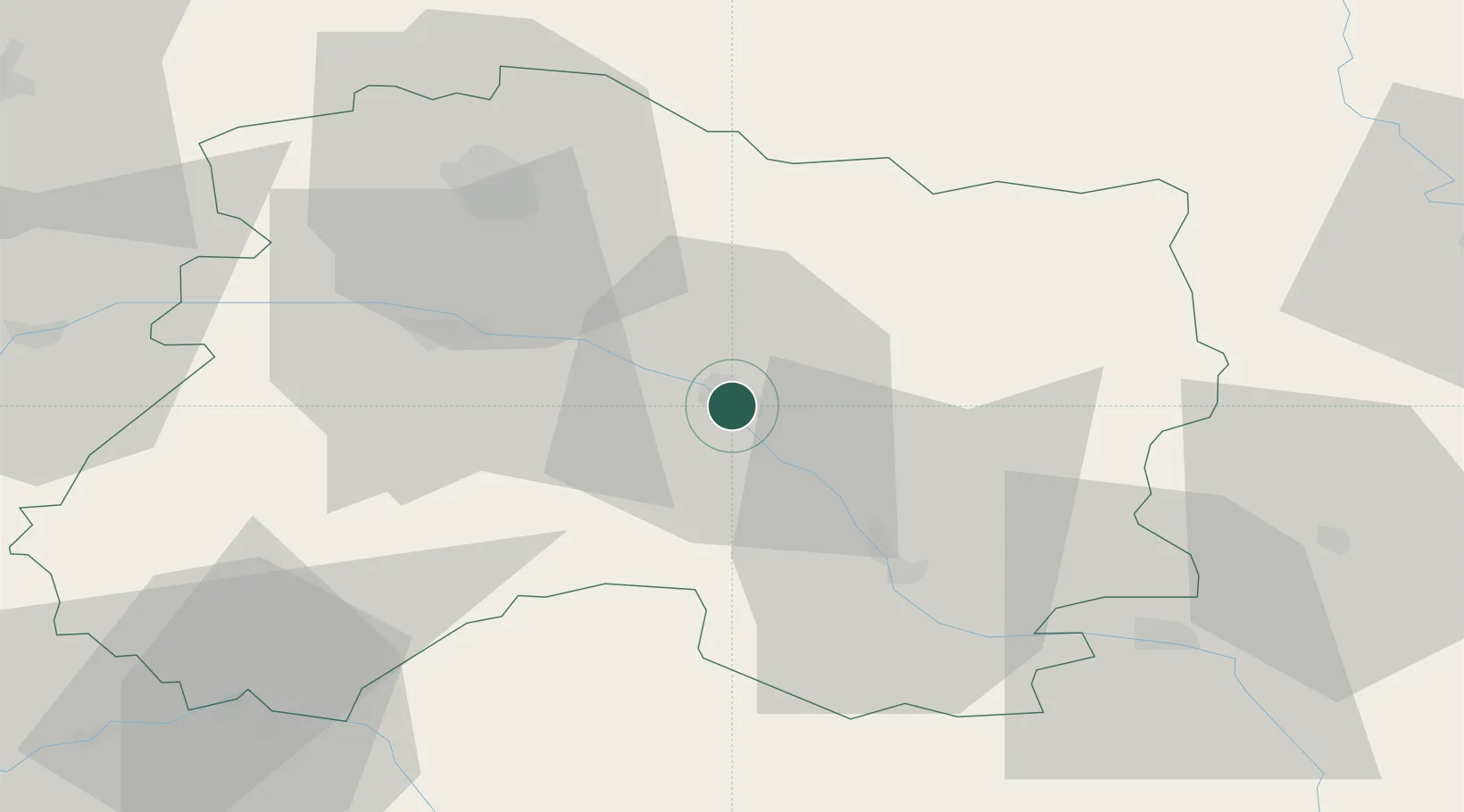
Châlons-en-Champagne

48.9500°, 4.3667°
51,257
Population
2
Transport functions

Transport Functions

Port
Rail
UN/LOCODE

Hub Profile

Place type
Provincial seat
GeoNames
Region
Grand Est
GeoNames
Population
51,257
GeoNames
Time zone
Europe/Paris
GeoNames
Elevation
85 m
GeoNames

Location

Location of FRCSM
Natural Earth 10m (public domain) · Grand Est · FRCSM · 48.95, 4.37GoogleOSMYandex

Nearby Logistics Neighbours

Cities
  1. 1Fagnières2 km
  2. 2La Ferté-sous-Jouarre2 km
  3. 3Saint-Martin-sur-le-Pré4 km
  4. 4Recy5 km
  5. 5Marson7 km
Nearest neighbours — logibook spatial index (haversine) over the source coordinates
Ports
  1. 1Bruxelles213 km
  2. 2Ghent240 km
  3. 3Antwerpen252 km
  4. 4Bruges267 km
  5. 5Nieuwpoort269 km
Nearest neighbours — logibook spatial index (haversine) over the source coordinates
Airports
  1. 1Chalons Vatry airport23 km
  2. 2Saint-Dizier – Robinson Air Base52 km
  3. 3Troyes-Barberey Airport74 km
  4. 4Verdun-Le Rozelier Airfield83 km
  5. 5Charleville-Mézières Ardennes-Etienne Riché Airfield95 km
Nearest neighbours — logibook spatial index (haversine) over the source coordinates
Trade Zones
  1. 1ZFU Reims44 km
  2. 2ZFU Saint-Dizier51 km
  3. 3ZFU La Chapelle Saint-Luc, Les Noës-près-Troyes, Troyes, Sainte-Savine76 km
  4. 4ZFU Presles, Chevreux91 km
  5. 5ZFU Ronde Couture92 km
Nearest neighbours — logibook spatial index (haversine) over the source coordinates
DatabookThe Record of Consolidated Knowledge
France beyond logistics?
Browse databook

All Sources

LocationsUN/LOCODE
UN/LOCODE — free
LocationsGeoNames
CC BY 4.0
Portsthe NGA World Port Index
Public domain (US gov)
AirportsOurAirports
Public domain
Trade Zonesthe World Bank SEZ database
CC BY 4.0
Trade ZonesOpen Zone Map
CC BY
← France locations