Transport Functions
Port
Road
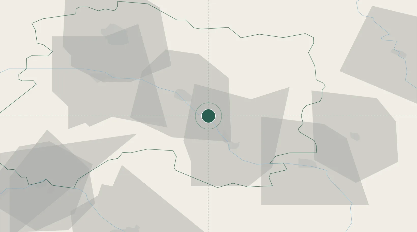
Hub Profile
Place type
Populated place
Region
Grand Est
Population
665
Time zone
Europe/Paris
Elevation
103 m
Location
Nearby Logistics Neighbours
Cities
- 1Soulanges10 km
- 2Châlons-en-Champagne13 km
- 3L'Épine13 km
- 4Marson13 km
- 5Courtisols13 km
Airports
Trade Zones
DatabookThe Record of Consolidated Knowledge
France beyond logistics?