Transport Functions
Multimodal
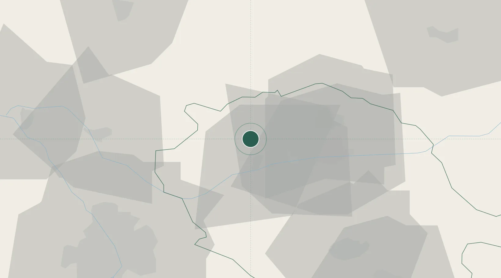
Hub Profile
Place type
Populated place
Region
Occitanie
Population
162
Time zone
Europe/Paris
Elevation
205 m
Location
Nearby Logistics Neighbours
Cities
- 1Andillac1 km
- 2Montels4 km
- 3Campagnac5 km
- 4Broze6 km
- 5Castelnau-de-Montmiral7 km
Ports
- 1Port-La-Nouvelle145 km
- 2Sete161 km
- 3Port-Vendres193 km
- 4Bordeaux217 km
- 5Rosas220 km
Airports
Trade Zones
- 1ZFU Toulouse57 km
- 2ZFU Béziers130 km
- 3ZFU Montpellier164 km
- 4ZFU Perpignan166 km
- 5ZFU Hauts de Garonne216 km
DatabookThe Record of Consolidated Knowledge
France beyond logistics?