UN/LOCODE hub · France
FRNUU

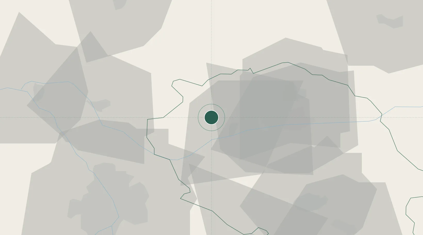
Castelnau-de-Montmiral

43.9667°, 1.8167°
953
Population
2
Transport functions

Transport Functions

Road
Multimodal
UN/LOCODE

Hub Profile

Place type
Populated place
GeoNames
Region
Occitanie
GeoNames
Population
953
GeoNames
Time zone
Europe/Paris
GeoNames
Elevation
292 m
GeoNames

Location

Location of FRNUU
Natural Earth 10m (public domain) · Occitanie · FRNUU · 43.97, 1.82GoogleOSMYandex

Nearby Logistics Neighbours

Cities
  1. 1Vieux7 km
  2. 2Montels7 km
  3. 3Broze7 km
  4. 4Andillac8 km
  5. 5Campagnac8 km
Nearest neighbours — logibook spatial index (haversine) over the source coordinates
Ports
  1. 1Port-La-Nouvelle146 km
  2. 2Sete164 km
  3. 3Port-Vendres193 km
  4. 4Bordeaux214 km
  5. 5Rosas219 km
Nearest neighbours — logibook spatial index (haversine) over the source coordinates
Airports
  1. 1Albi Le Sequestre airport24 km
  2. 2Cahors Lalbenque airport51 km
  3. 3Toulouse-Blagnac Airport52 km
  4. 4Toulouse-Francazal (BA 101) Air Base59 km
  5. 5Castres Mazamet Airport59 km
Nearest neighbours — logibook spatial index (haversine) over the source coordinates
Trade Zones
  1. 1ZFU Toulouse50 km
  2. 2ZFU Béziers133 km
  3. 3ZFU Perpignan166 km
  4. 4ZFU Montpellier168 km
  5. 5ZFU Nîmes203 km
Nearest neighbours — logibook spatial index (haversine) over the source coordinates
DatabookThe Record of Consolidated Knowledge
France beyond logistics?
Browse databook

All Sources

LocationsUN/LOCODE
UN/LOCODE — free
LocationsGeoNames
CC BY 4.0
Portsthe NGA World Port Index
Public domain (US gov)
AirportsOurAirports
Public domain
Trade Zonesthe World Bank SEZ database
CC BY 4.0
Trade ZonesOpen Zone Map
CC BY
← France locations