Transport Functions
Multimodal
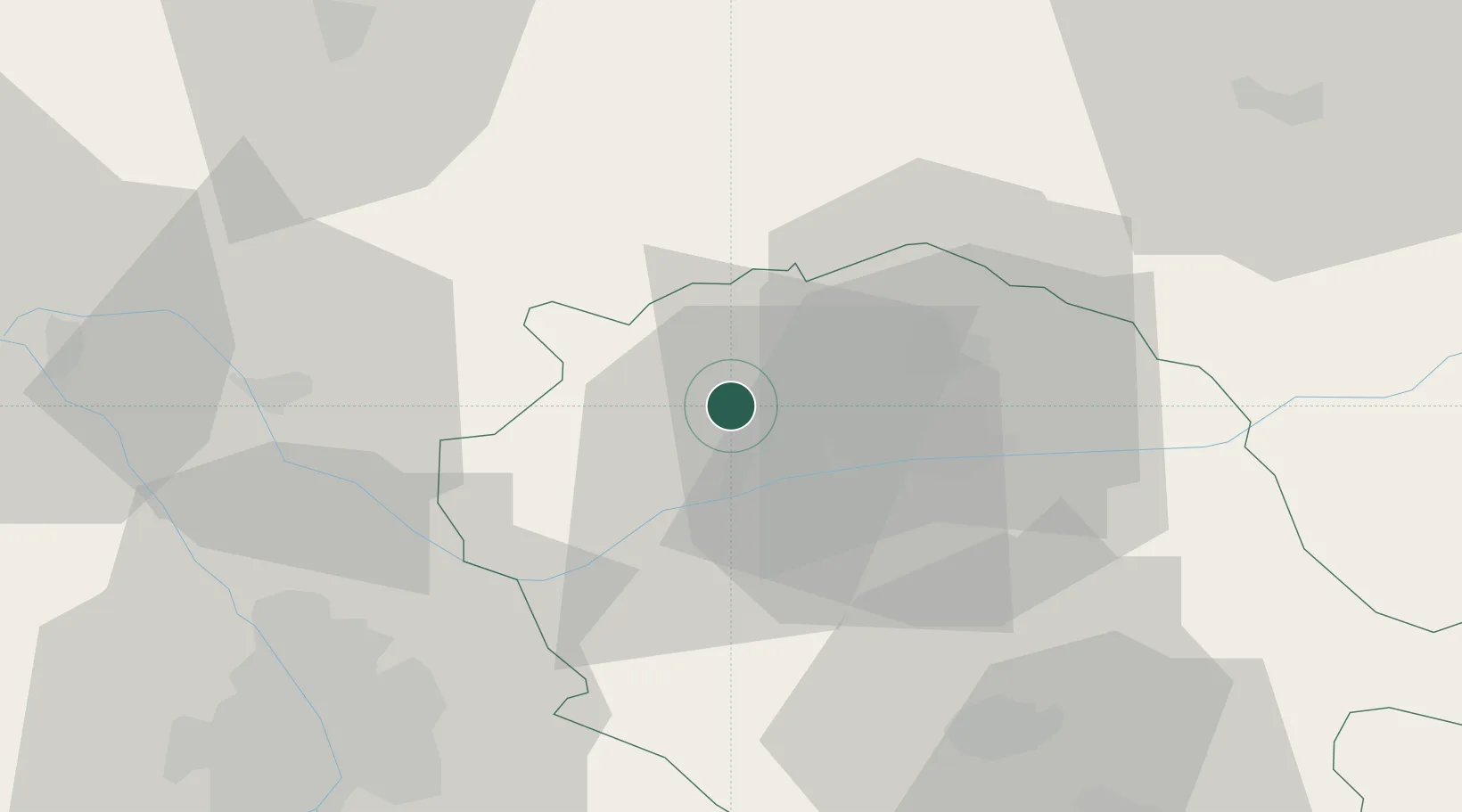
Hub Profile
Place type
Populated place
Region
Occitanie
Population
105
Time zone
Europe/Paris
Elevation
241 m
Location
Nearby Logistics Neighbours
Cities
- 1Vieux1 km
- 2Montels4 km
- 3Campagnac6 km
- 4Broze6 km
- 5Castelnau-de-Montmiral8 km
Ports
- 1Port-La-Nouvelle144 km
- 2Sete159 km
- 3Port-Vendres192 km
- 4Bordeaux218 km
- 5Rosas219 km
Airports
- 1Albi Le Sequestre airport20 km
- 2Cahors Lalbenque airport52 km
- 3Castres Mazamet Airport58 km
- 4Toulouse-Blagnac Airport60 km
- 5Rodez–Aveyron Airport65 km
Trade Zones
- 1ZFU Toulouse57 km
- 2ZFU Béziers129 km
- 3ZFU Montpellier162 km
- 4ZFU Perpignan165 km
- 5ZFU Hauts de Garonne217 km
DatabookThe Record of Consolidated Knowledge
France beyond logistics?