Transport Functions
Road
Multimodal
Hub Profile
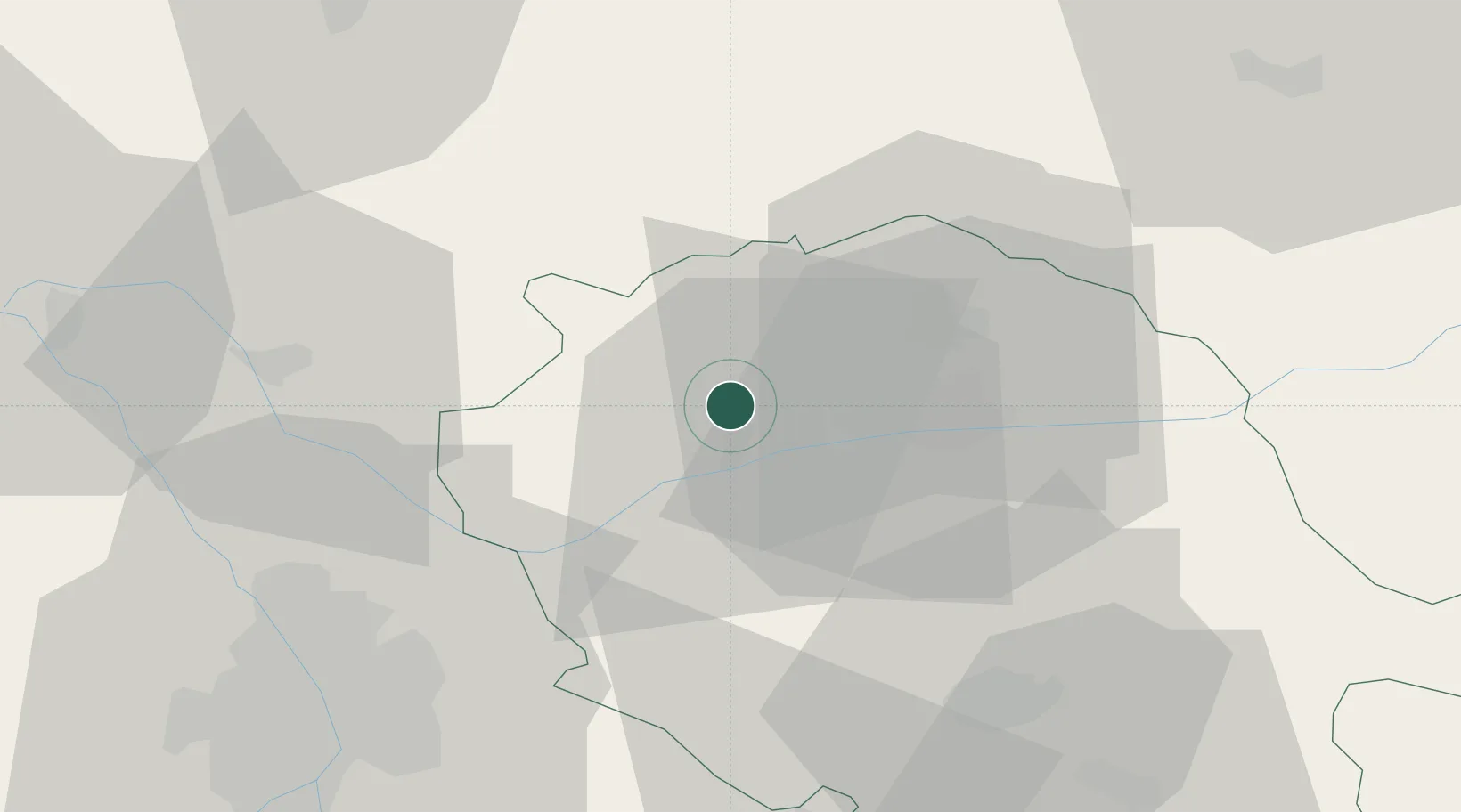
Place type
Populated place
Region
Occitanie
Population
90
Time zone
Europe/Paris
Elevation
265 m
Location
Nearby Logistics Neighbours
Cities
- 1Broze2 km
- 2Andillac4 km
- 3Vieux4 km
- 4Senouillac6 km
- 5Fayssac6 km
Ports
- 1Port-La-Nouvelle142 km
- 2Sete158 km
- 3Port-Vendres189 km
- 4Rosas216 km
- 5Bordeaux220 km
Airports
Trade Zones
- 1ZFU Toulouse55 km
- 2ZFU Béziers127 km
- 3ZFU Montpellier161 km
- 4ZFU Perpignan162 km
- 5ZFU Nîmes197 km
DatabookThe Record of Consolidated Knowledge
France beyond logistics?