Transport Functions
Multimodal
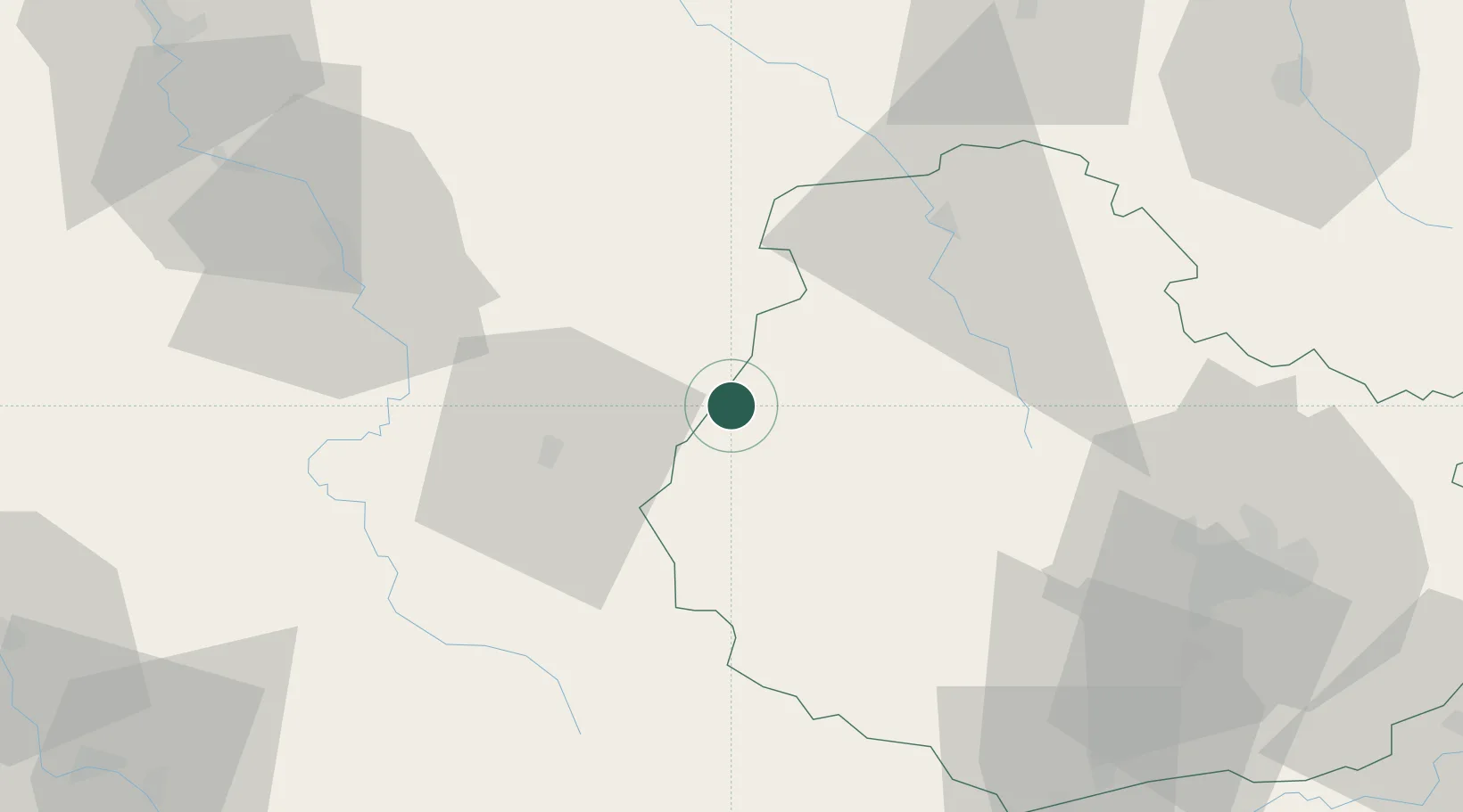
Hub Profile
Place type
Populated place
Region
Bourgogne
Population
152
Time zone
Europe/Paris
Elevation
314 m
Location
Nearby Logistics Neighbours
Cities
- 1Villaines-les-Prévôtes7 km
- 2Buffon8 km
- 3Saint-Rémy8 km
- 4Montbard10 km
- 5Massangis19 km
Ports
- 1Port Of Rouen311 km
- 2Saint-Valery-Sur-Somme346 km
- 3Le Treport346 km
- 4Dieppe348 km
- 5Honfleur358 km
Airports
- 1Auxerre Branches airport62 km
- 2Dijon Longvic airport74 km
- 3Troyes-Barberey Airport84 km
- 4Nevers-Fourchambault Airport105 km
- 5Dole Tavaux Airport110 km
Trade Zones
DatabookThe Record of Consolidated Knowledge
France beyond logistics?