Transport Functions
Port
Road
Hub Profile
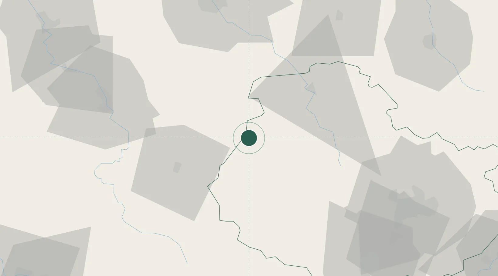
Place type
Populated place
Region
Bourgogne
Population
175
Time zone
Europe/Paris
Elevation
215 m
Location
Nearby Logistics Neighbours
Cities
- 1Saint-Rémy3 km
- 2Montbard6 km
- 3Fain-lès-Moutiers8 km
- 4Villaines-les-Prévôtes11 km
- 5Ancy-le-Franc15 km
Ports
- 1Port Of Rouen309 km
- 2Saint-Valery-Sur-Somme342 km
- 3Le Treport342 km
- 4Dieppe345 km
- 5Honfleur357 km
Airports
- 1Auxerre Branches airport62 km
- 2Dijon Longvic airport75 km
- 3Troyes-Barberey Airport77 km
- 4Dole Tavaux Airport111 km
- 5Nevers-Fourchambault Airport113 km
Trade Zones
DatabookThe Record of Consolidated Knowledge
France beyond logistics?