Transport Functions
Rail
Road
Hub Profile
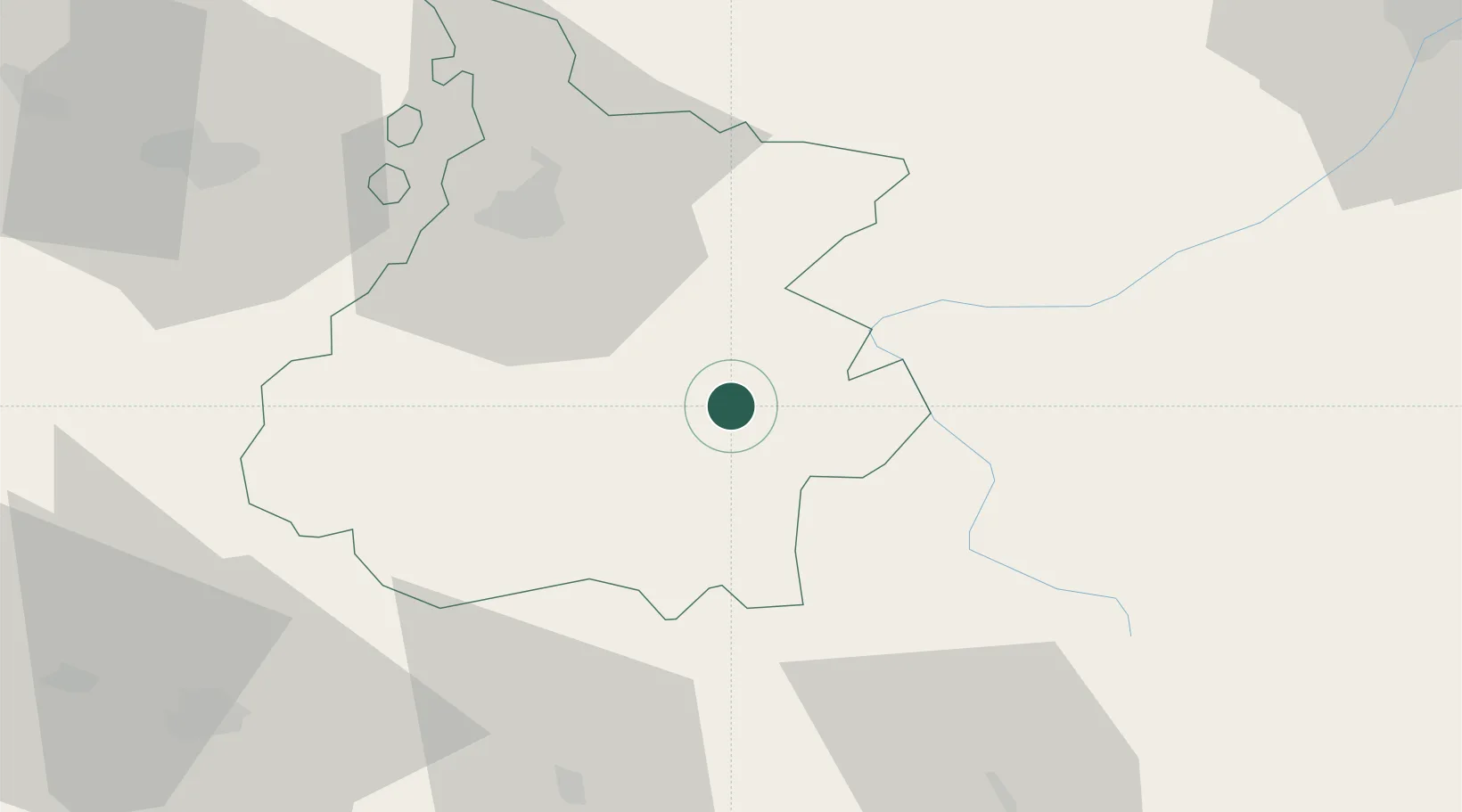
Place type
Populated place
Region
Occitanie
Population
721
Time zone
Europe/Paris
Elevation
628 m
Location
Nearby Logistics Neighbours
Cities
- 1Arreau7 km
- 2Lies17 km
- 3Bagnères-de-Bigorre21 km
- 4Fronsac23 km
- 5Villeneuve-de-Rivière31 km
Ports
- 1Bayonne160 km
- 2Puerto De Pasajes191 km
- 3Tarragona220 km
- 4Port-La-Nouvelle220 km
- 5Villanueva Y Geltru223 km
Airports
Trade Zones
- 1ZFU Toulouse112 km
- 2Depósito Franco de Zaragoza174 km
- 3Depósito Franco de Pasajes (Guipúzcoa)190 km
- 4ZFU Perpignan208 km
- 5Depósito Franco de Tarragona218 km
DatabookThe Record of Consolidated Knowledge
France beyond logistics?